ETH spin-off Terensis is able to forecast the harvest yield and climate risks such as droughts and frost with the help of satellites. This not only helps farmers to plan. Authorities and insurance companies can also predict damage more efficiently.
In brief
- ETH spin-off Terensis combines satellite images with plant models to create a digital twin of crops.
- This virtual image of reality illustrates the condition of different field crops in real time and combines the information with local weather data.
- All parties involved in the agricultural value chain thus receive access to extensive information such as the status quo, yield, risks and need for action. This saves time and money and assists planning.
"There's no question that farmers know their land much better than we do," says Gregor Perich. "They know which areas of a field are better and which are worse and what they can achieve where and with what. However, we can help them to reduce uncertainties, save time and intervene in good time in case of risks."
The agricultural scientist at ETH Zurich shows a map of Switzerland on his laptop: nothing but small red, green and yellow spots can be seen between Lake Geneva and Lake Constance. "These are the individual fields, orchards and vineyards cultivated in Switzerland. We are able to forecast the yield for each of them up to two months prior to the harvest. The greener the colour, the greater the yield."
Perich zooms into the interactive map and thus into the individual plots of land, each of which consists of different colours. "Our dashboard allows the current condition of any given section of land to be checked. The farmer can see at a glance whether or not the crops are on target and receives customised recommendations for action."

Satellites can see more
The detailed location-specific database that Perich shows is a "digital twin", that is, a virtual image of reality. The digital twin combines biophysical models with real-time satellite data to simulate the development of crops from sowing to harvest. As well as the prospective harvest yield, it also provides information such as the current biomass (from which the yield is calculated), the expected date of flowering and the ideal harvesting time.
Satellite data are still only used cautiously in Swiss agriculture. And yet their potential is enormous. "Satellite images enable us to observe things that we are unable to see with the human eye," says Lukas Graf. Like Perich, the geoinformatics scientist completed his doctorate in the Crop Science group led by ETH Professor Achim Walter.
"Satellites among other things measure how much radiation from the sun shining on a pasture is reflected. Depending on the condition of the plants, they return more or less radiation." For example, if the leaves of a plant have a given size and stand at a particular angle, they send a given amount of radiation back to the satellites. "This can be used to draw very precise conclusions about the plants," says Graf. "For instance, the satellite images can tell us whether the plant is suffering from drought stress or whether it is threatened by fungal infestation."
Warning of weather risks
This satellite information is linked to a weather forecast tailored to the location. "In combination with our agronomic knowledge, we can offer a targeted risk assessment and recommendations for action, for instance in the event of frost, drought or the threat of fungal infestation with Fusarium," adds Perich.
"Farmers will always know more about their land than we can ever do. We are careful not to explain the world to them. However, we can help them save time - and fertiliser."Gregor Perich, Co-Founder Terensis
With the assistance of the digital twin, the farmer can now see at a glance whether some of the crops are at risk and can, for example, deploy fungicides in a targeted manner where they are needed, close hail nets in good time or light anti-frost candles. "Our model is updated twice a week. We therefore always know what stage the field crops are at," says Perich. The stage is crucial for deciding whether and how action needs to be taken, for example with vines: if the bud has not yet sprouted, the wooden part of the vines will tolerate a lot more. Things become critical as soon as the bud arrives. Frost is then particularly damaging.
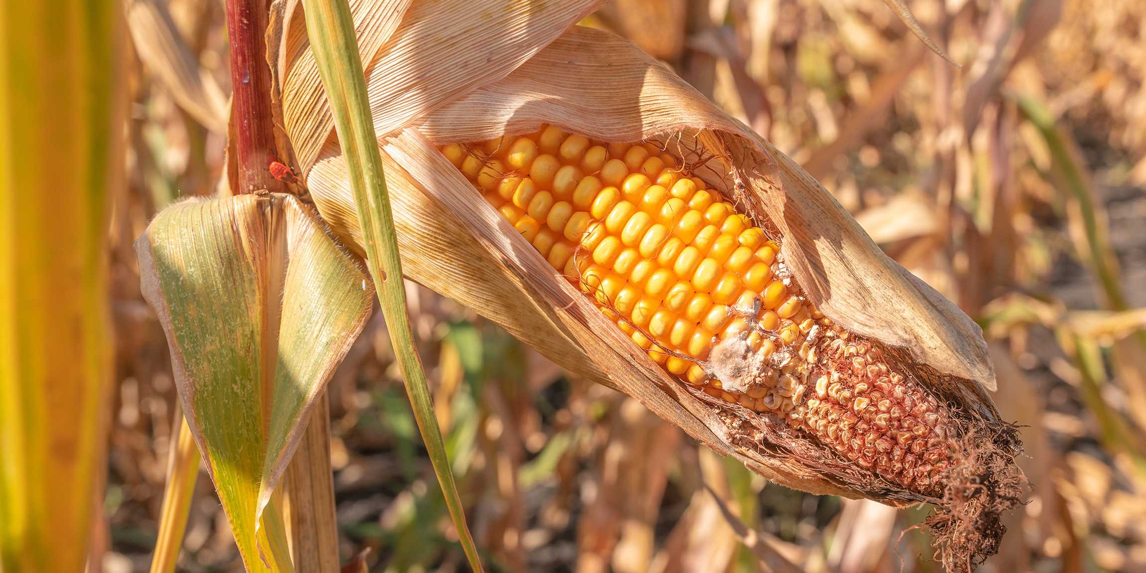
The present year has shown how unpredictable nature can be. First it was very warm and in April there was frost at an unfavourable time for crops. And after that there was very frequent rain at excessively high temperatures. "Fungal infestation has been a major problem for agriculture in 2024. Grain loses value when infested with Fusarium and in extreme cases it can no longer even be fed to animals," says Graf. It is all the more important to monitor it in real time in order to be able to intervene before it is too late.
The digital twin not only supports farmers in the short term. "Farmers have told us in various discussions that a digital map with all the plots of land they cultivate can also help them to plan their strategy in the long term," says Graf.
From research to market
Perich and Graf already searched for solutions during their doctoral studies for enabling agriculture in small-scale Switzerland to benefit from the latest satellites of the European Space Agency (ESA). They now wish to bring their research to market with the support of a Pioneer Fellowship. The two of them founded the company Terensis, named after a Roman goddess responsible for the threshing of grain, at the start of May. Terensis has just received the ETH spin-off label.

The technology of Terensis is intended to serve the entire agrifood chain as a decision-making tool, i.e. to support farmers in planning their daily work and in consultations with cantonal agricultural authorities, for instance when applying for permission to use pesticides. "It is possible to look at a map together and see the same thing without farmers having to explain for long which pastures or problems they are talking about," says Graf. "This enables the discussion to be conducted in a data-based and efficient manner for each place in the field. And the facts are tangible and above all verifiable," underlines Graf. This enables a fact-based decision to be made jointly and swiftly, thus saving time on both sides.
Digital information is also useful for agricultural insurers, adds Graf: "Insurers frequently do not wish to know in detail what happens where. However, they are interested in yield fluctuations over the years and across larger areas. They use these to calculate insurance premiums." Most assessment processes at offices and agricultural insurance companies are still conducted manually. "If they can make each decision one minute faster with our technology, this will enable a lot of time to be saved altogether."
"Whether farmer, insurer or politician: thanks to our technology, everyone has the same data pool and the conditions are verifiable."Lukas Graf, Co-Founder Terensis
As the two researchers add, policymakers also prefer to rely on a data-based decision-making foundation - such as when approving research funding for the breeding of varieties adapted to the location or granting special permission for pesticides. "Data-based tools such as ours can be used to reduce bureaucracy."
As simple as Google Earth
The platform is intended to be as easy to use as Google Earth, says Perich. "You don't need to be an expert in reading maps to use Google Earth. Our platform is also intended to be as intuitive as possible."
There are several companies working on digital solutions for agriculture, says Perich. "What sets us apart from the others is that we are bringing the two decisive production factors in agriculture, soil and weather, together on one platform." And as Graf adds, "No-one wishes to have ten different subscriptions to check the weather, inspect the biomass or obtain a fertiliser recommendation. We bring all this together on one platform."
They have now proven in research that the technology works, says Perich. Now it's time to implement it - and a change of mind is needed. "The most difficult challenge is probably to alter existing habits and methods."
Terensis is supported by the ESA Business Incubation Centre Switzerland (ESA BIC CH). ESA BIC CH is a programme of the European Space Agency (ESA) which is managed in Switzerland by ETH Zurich. It supports young entrepreneurs working on space-related technologies.


