A team of Air Force Civil Engineer Center geospatial experts are using emergent technologies to push geospatial services to new heights and give commanders a powerful tool for today's Great Power Competition.
"As technologies continue to advance, GeoBase's impact is growing," said Scott Ensign, DAF GeoBase Program manager.
"We touch most, if not all, facets of Department of the Air Force operations. Our geospatial engineering applications, tools and services produce and integrate data that enhances garrison, strategic and expeditionary objectives," Ensign said. "The data and services we provide arm commanders with the knowledge they need to make sound decisions at the right time."
Established in 2001, the DAF GeoBase Program has consistently delivered geospatial information and services that enhance combat support and reduce operational risks. Today, with advancing technologies and evolving mission requirements, the program's geospatial services are reaching unprecedented levels of sophistication.
"The GeoBase program is a critical component to providing the ground truth senior DAF leaders need for accurate decision-making," said Thomas Timmerman, Air Force director of future warfare analysis. "Great Power Competition requires continued innovation with a focus toward operational planning and analysis."
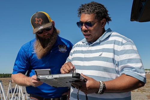
More than 50 geospatial professionals at AFCEC's San Antonio-based Geospatial Engineering Office continuously seek to exploit innovative technologies, processes and practices that support a broad spectrum of functional and operational mission requirements.
"We do more than create maps," said Julio Toala, GEO future operations manager. "We enhance nearly all facets of DAF operations."
He said new GeoBase technologies have led to improved geospatial capabilities that support operational functions, base infrastructure initiatives, and the needs of combatant commanders and warfighters.
For example, GeoBase capabilities supported security at the U.S. Embassy in Haiti by improving situational awareness for commanders earlier this year. It was integral in supporting warfighters by providing precise and up-to-date engineering and site data analyses. The contributions helped to ensure the smooth continuation of embassy mission operations and facilitated the departure of non-essential personnel.
"The geospatial site picture enhanced security at the U.S. Embassy in Port-au-Prince during a time of ongoing political unrest in Haiti," Toala said. "In addition to the site picture, we provided a bare base-bed down design and airfield parking plans, all supplemented by comprehensive map support."
The GeoBase program also played a pivotal role in organizing and providing geospatial support in anticipation of the secretary of the Air Force team's visit to Japan in April.
"The visit aimed to strengthen defense cooperation between the United States and Japan during a period of significant advancements in operational support priorities for the Indo-Pacific region," Toala said. "Our geospatial products included extensive digital maps of fuel tank and ammunition storage areas, which are critical for this significant future endeavor."

GeoBase can also help commanders assess installation damage after a disaster or other event. In the aftermath of a tornado at Wright-Patterson Air Force Base, Ohio, Feb. 28, the GeoBase team used remote sensing data and conducted thorough geospatial data processing and analyses, while employing cost-effective survey tools, said José Alfonsín, small unmanned aircraft system capabilities developer.
"The data we provide equips commanders with the crucial knowledge they need to make informed decisions at the right time," Alfonsín said. "By continually pushing the boundaries of geospatial capabilities, the DAF GeoBase Program ensures that the DAF remains agile and ready to face the challenges of today's strategic landscape."


