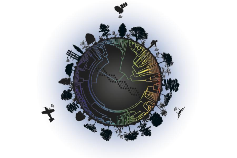
The world underground is a busy place, with everything from fat nightcrawlers to microscopic fungi forming a community of workers that break down plant material to free nutrients - processes that are vital to sustaining life on Earth. Given humanity's hefty footprint, it's important to identify where these processes are working well, and where they may need help. But how can we do that across vast landscapes?
A new study published in Ecological Monographs and led by University of Minnesota ecologists suggests the answer could come from above. Researchers from around the U.S., Canada, and Switzerland using remote sensing to study plant communities report that plant traits we can sense from satellites and airplanes can provide valuable insights into what's going on beneath the soil.
"The ability to use remote sensing to predict soil processes across large spatial extents has really important implications for understanding and modeling Earth's biogeochemical cycles, including how nitrogen moves through ecosystems and how carbon accumulates and is stored belowground," says lead author Jeannine Cavender-Bares, Distinguished McKnight University professor of ecology, evolution and behavior in the College of Biological Sciences and director of the NSF ASCEND Biology Integration Institute.

Researchers relied on innovative technology that makes it possible to use differences in light absorption and reflection to identify from a distance not only what kinds of plants grow where, but also their chemical composition. They used the technology to characterize the types and chemical characteristics of plants in two grasslands-a vegetation-rich site in Nebraska and a less-vegetated site at the University's Cedar Creek Ecosystem Science Reserve in Minnesota. They then literally dug into the matter, excavating soils beneath the remotely sensed sites and measuring soil health traits such as microbial diversity, enzyme activity, and nitrogen and carbon concentrations.
The good news: The researchers found that what's happening beneath the surface is indeed clearly correlated with above-ground plant traits. The complicating news: The above-ground traits that best predicted the below-ground traits were different for the two sites. For the vegetation-poor site, the amount of vegetation best predicted underground conditions, while for the richer site, the composition of the above-ground vegetation was key.
"We are super excited that it appears possible to infer what's happening in the soil from what we see from the sky," says co-author Sarah Hobbie, also a professor of ecology, evolution and behavior in the College of Biological Sciences and director of the Minneapolis-St. Paul Metropolitan Area Long Term Ecological Research Program. "The fact that this varies with the diversity and productivity of the vegetation means we'll need to focus our attention now on fine-tuning our understanding of the relationship so we ultimately can assess the health of below-ground ecosystems on a large scale."
These new insights and continued work to further develop remote sensing capabilities will only deepen understanding of the causes and consequences of changes in biodiversity and inform next generation conservation ideas and policies. "Our goal is to use this literal and figurative perspective to help manage and restore ecosystems to sustain our planet in this era of rapid global change," said Cavender-Bares.
This research was supported by the National Science Foundation and the National Aeronautics and Space Administration.
About the College of Biological Sciences
The College of Biological Sciences at the University of Minnesota is one of two colleges in the United States dedicated to the biological sciences with undergraduate majors and graduate programs that cover the spectrum of life from molecules to ecosystems. Learn more at cbs.umn.edu.


