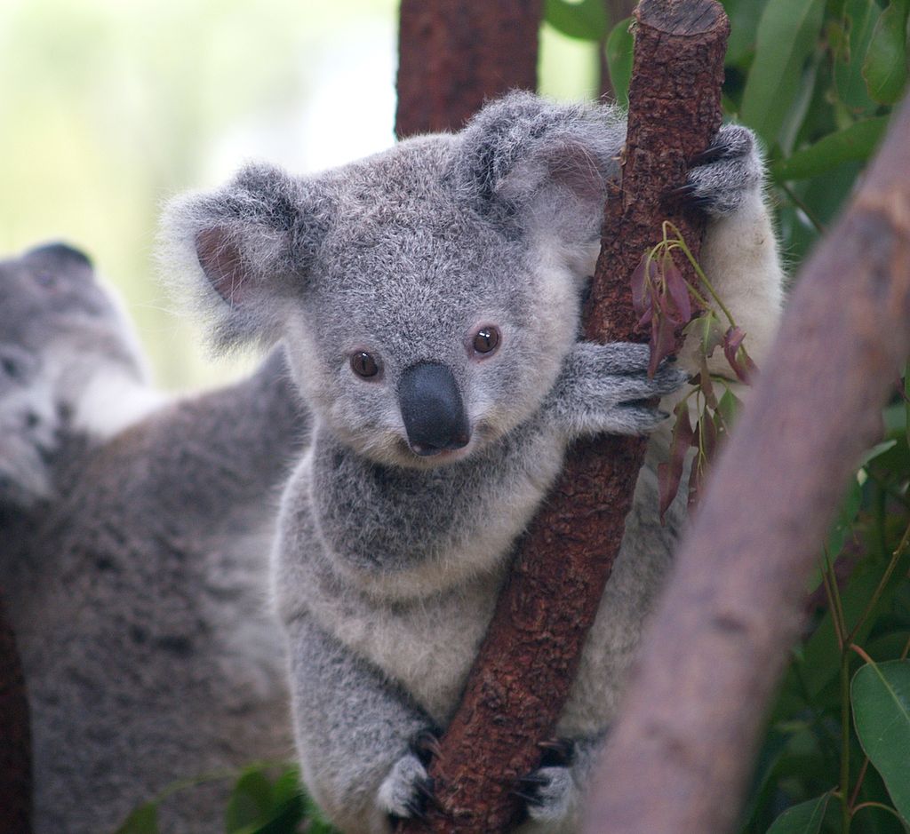
Hawkesbury City councillors unanimously approved $240,000 for Koala Habitat Mapping and an additional
$70,000 for the development of a Koala Corridor Assessment and Koala Plan of Management at its meeting
on Tuesday 26 November.
The decision was made as part of the Council's Quarterly Budget Review, with the additional $70,000 to
come from an allocation reduction to Council's property reserve.

The Koala Corridor Assessment and Plan of Management approvals are in addition to the $120,000 project
to undertake Fine Scale Vegetation Mapping in the Hawkesbury, which is currently underway.
The complete project includes identification of the local area's koala feed trees, the development of a Highly
Suitable Koala Habitat Map, a Koala Occupancy Survey and analysis of the data to produce a Core Habitat
Map.
This work will identify the distribution and potential density of koalas in the region and the range of vegetation
that is currently home to koalas, as well as their movement across and between habitats. The information will
be compiled into a management strategy to conserve and protect koalas in the Hawkesbury.
Morgan Philpott, a volunteer koala coordinator from WIRES, who addressed the meeting, said the
Hawkesbury's koala population is expanding and growing despite some loss of habitat.
He told the meeting that the Hawkesbury and Blue Mountains koalas contain distinct genes but also have
genes from both Queensland koalas and Victorian and southern Australian koalas.
"That should be a focus of conservation here, because, in essence, they hold the genes of the entire species
– which is quite remarkable. This makes them more adaptable to change and resistant to diseases," he said.


