Climate scientists gathered in Wageningen to tinker with new climate models last week. These new models have extremely high resolutions, enabling them to more accurately estimate the local impact of global climate change.
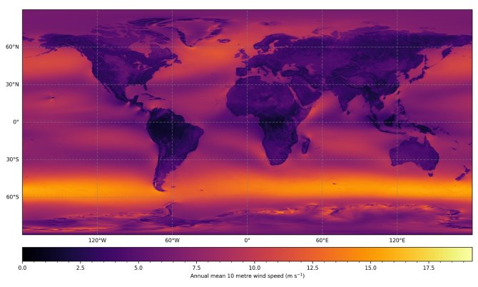
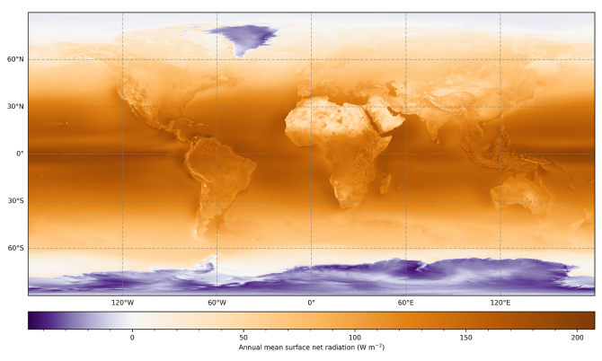
The existing climate models show results at a scale of approximately 100 x 100 kilometres, whereas the new models have a 10 x 10 or even 5 x 5-kilometre resolution. Chiel van Heerwaarden, a WUR meteorologist and co-organiser of the event with Imme Benedict, explains: 'The new models show the effect mountains have on the weather, as well as the effect of metropolises on temperatures. The results more accurately reflect the influence of the landscape.'
The group of climate researchers working on next-generation earth modelling systems, nextGEMS, was responsible for the hackathon. They worked mainly with two climate models: the Max Plant Meteorology Institute's ICON model and the IFS system by theEuropean Weather Research Institute ECMWF. In previous hackathons, researchers tested whether newer models correctly reflected the climate and weather conditions using data over recent years. In this hackathon, they spent four days calculating what extreme weather conditions the new models are predicting for the period until 2050. They focused on extreme precipitation, cyclones, drought, and forest fires in specific regions in the coming decades.
They discovered that, in some instances, the ICON model's predictions differ from the IFS model. Van Heerwaarden: 'For example, the IFS model expects dryer conditions in southern Europe than the ICON model does. This is due to the fact that IFS' air circulation model expects more dry air to make its way from Africa to southern Europe, while ICON's predictions are considerably lower. These differences can be used for new research and tests. The global atmosphere and ocean systems are extremely complex and influence each other.'
Nevertheless, the new generation of climate models is helpful for many WUR researchers, according to Van Heerwaarden. 'The models show a richer regional image, enabling us to assess whether our dykes or spatial planning must be altered to accommodate climate change. Moreover, they make it easier to assess how global climate change impacts the Netherlands. Cyclone Kirk, which recently passed over the Atlantic to land in France, causing high precipitation levels, is a striking example. Patterns such as these can now be identified much more easily.'
Bekijk de video's
- Unfortunately, your cookie settings do not allow videos to be displayed. - check your settings
- Unfortunately, your cookie settings do not allow videos to be displayed. - check your settings


