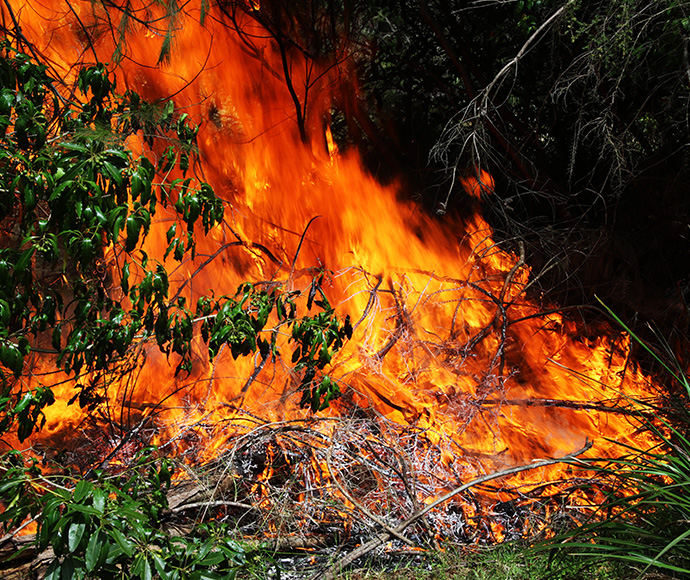
National Parks and Wildlife Service (NPWS) and the NSW Rural Fire Service (RFS) will be conducting hazard reduction burning in Werakata National Park, near Abermain and Sawyers Gully on Saturday 29 August 2020 to reduce bushfire risk to local properties, wildlife and cultural heritage.

Subject to favourable weather conditions, 115 hectares of bushland will be burnt adjacent to First Street, Lovedale.
Anyone driving in the area, particularly on Old Maitland Road, are advised to use caution and respect temporary traffic control measures in place to manage road safety.
Expected north-west winds on Saturday and cool evening conditions may see some smoke move to the Abermain and Cessnock areas overnight.
Werakata National Park's road and trail closures will include Native Dog Hill Road, London's Road, Foresters Hut Trail, Kings Trail, First Street and Gibson's Loop in the south. Resident access will be maintained during operations, subject to onsite conditions.
NPWS and NSW RFS crews will follow COVID-19 safety procedures to manage risks to crews.
The NPWS hazard reduction program for 2020 is focussed on essential burns to protect park neighbours, assets or significant habitat to ensure ongoing recovery of the wildlife impacted by the summer bushfires.
All burns across NSW will continue to be coordinated with the RFS to ensure the impact on the community, including from smoke, are assessed at a regional level. Details on specific burns will be made available in advance on the Rural Fire Service website, 'Fires Near Me' app, and on NPWS Alerts website.
All hazard reduction burns over 50 hectares will be assessed by the NSW RFS in conjunction with NSW Health as required to ensure smoke impacts are minimised.
For health information relating to smoke from bush fires and hazard reduction burning, visit NSW Health or the Asthma Foundation.
For up to date information on these, and other, planned hazard reduction activities, visit the Rural Fire Service.


