3 min read

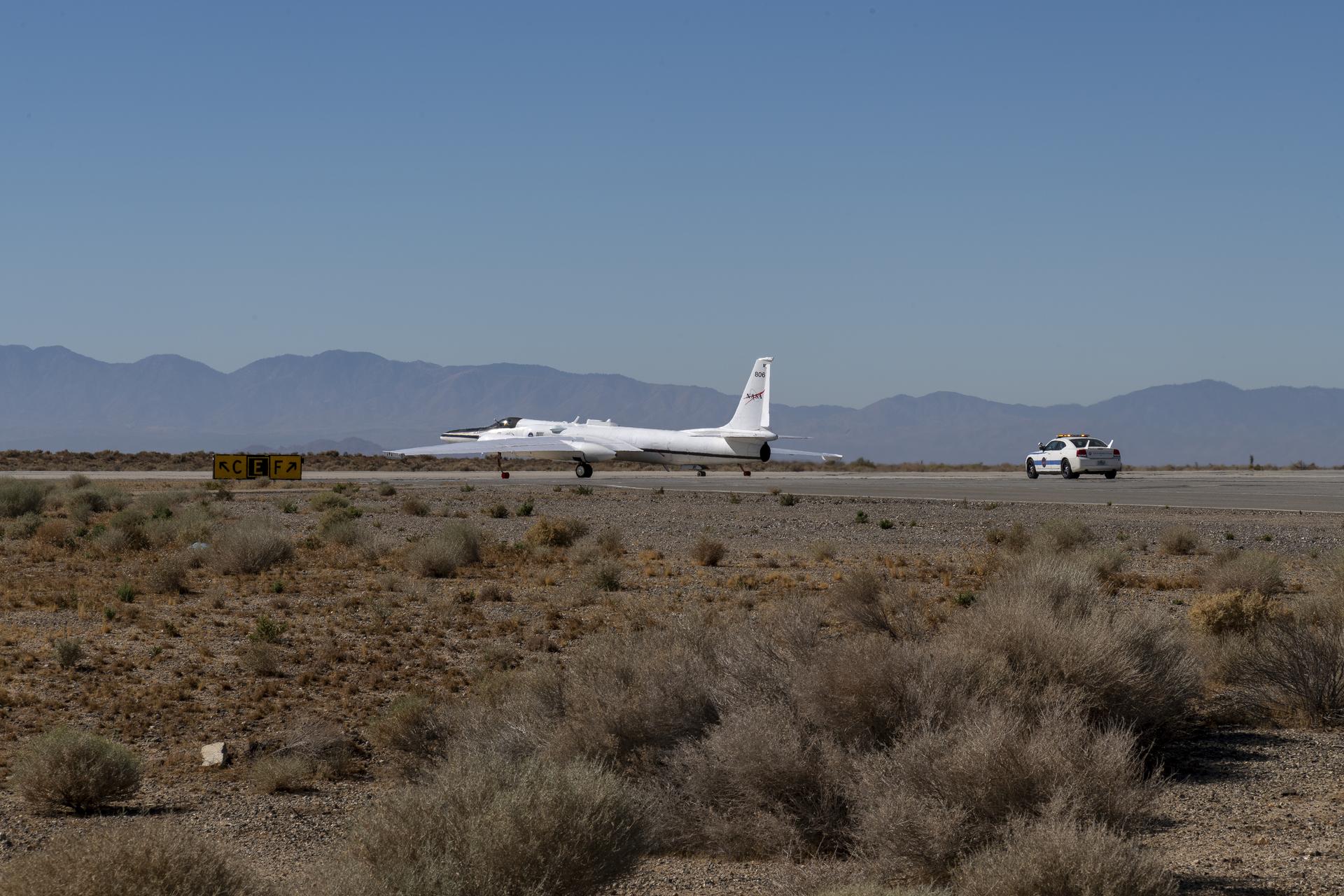
Operating at altitudes above 99% of the Earth's atmosphere, NASA's ER-2 aircraft is the agency's highest-flying airborne science platform. With its unique ability to observe from as high as 65,000 feet, the ER-2 aircraft is often a platform for Earth science that facilitates new and crucial information about our planet, especially when the plane is part of collaborative and multidisciplinary projects.
"We're deploying instruments and people everywhere from dry lakebeds in the desert to coastal oceans and from the stratosphere to marine layer clouds just above the surface," said Kirk Knobelspiesse, an atmospheric scientist at NASA's Goddard Space Flight Center. "We live on a changing planet, and it is through collaborative projects that we can observe and understand those changes."
One mission that recently benefitted from the ER-2's unique capabilities is the Plankton, Aerosol, Cloud, ocean Ecosystem Postlaunch Airborne eXperiment (PACE-PAX) project. The PACE-PAX mission uses the ER-2's capabilities to confirm data collected from the PACE satellite, which launched in February 2024.
The PACE observatory is making novel measurements of the ocean, atmosphere, and land surfaces, noted Knobelspiesse, the mission scientist for PACE-PAX. This mission is all about checking the accuracy of those new satellite measurements.
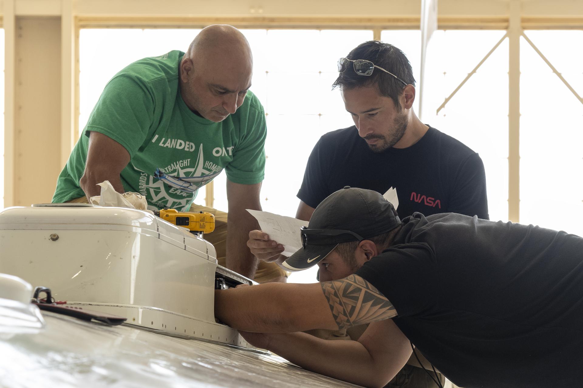
"The ER-2 is the ideal platform for PACE-PAX because it's about the closest we can get to putting instruments in orbit without actually doing so," Knobelspiesse said.
The collaborative project includes a diverse team of researchers from across NASA, plus the National Oceanic and Atmospheric Administration (NOAA), the Netherlands Institute for Space Research (SRON), the University of Maryland, Baltimore County, the Naval Postgraduate School, and other institutions.
Similarly, the Geological Earth Mapping eXperiment (GEMx) science mission is using the ER-2 over multiple years to collect observations of critical mineral resources across the Western United States.
"Flying at this altitude means the GEMx mission can acquire wide swaths of data with every overflight," said Kevin Reath, NASA's associate project manager for the GEMx mission, a collaboration between the United States Geological Survey (USGS) and NASA.
The GEMx team collects visible, shortwave infrared, and thermal infrared data using instruments installed onboard the ER-2. Combining these instruments with the aircraft's capability to fly at high altitudes bears promising results.
"The dataset being produced is the largest airborne surface mineralogy dataset captured in a single NASA campaign," Reath said. "These data could help inform federal, tribal, state, and community leaders to make decisions that protect or develop our environment."


