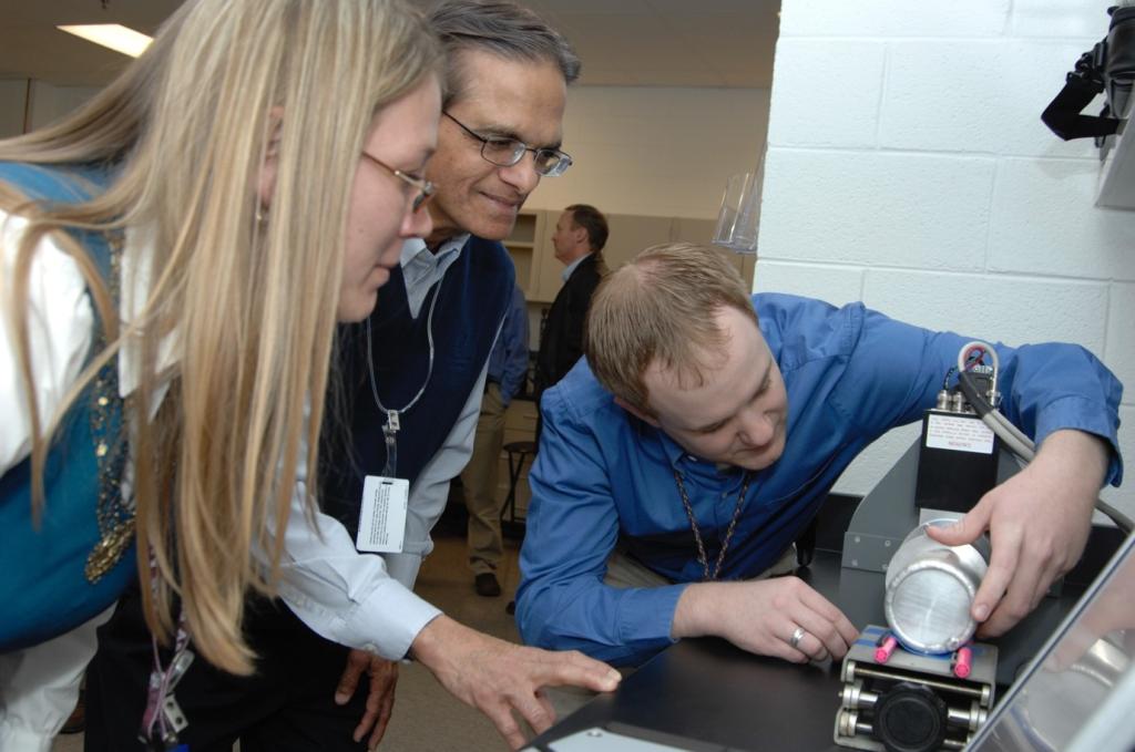
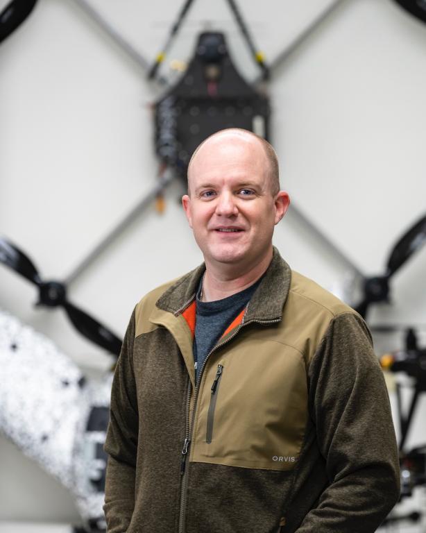
Jairus Hines has accomplished what many spend their weekends dreaming of: turning a hobby into a career. Hines is an electronics and unmanned systems technician with the Autonomous Systems group at the Department of Energy's Oak Ridge National Laboratory. Part of the National Security Sciences Directorate, or NSSD, this group is the most active drone team at the lab. As a result, Hines - who holds an active pilot's license - works with airborne and waterborne drones, as well as ground-based rovers. In this role, he's applying "low and slow" drone technology to radiation detection for national security missions.
What does your day-to-day look like as a technical professional with the autonomous systems group in NSSD?
I'm an operations person, so I am usually working on a project out in the field flying somewhere or working on drones in the lab. That includes applied operations, research science and systems engineering. Most of us aren't basic science people - we are very applied. And that's what I enjoy doing (working on practical, read-world problems).
You have quite an interesting ORNL origin story. Care to share?
I came to ORNL in 2005 as a student in nuclear nonproliferation safeguards and then worked as a lab tech in the same group for a couple of years. We did everything from training foreign partners on how to use radiation detector systems to calibrating those systems. I then took an entrepreneurial leave for a few years to make radiation detectors and work with gamma cameras.
When I came back to the lab, I wanted to try something different, so I took a job in operations management where I helped support the Autonomous Systems group. An opportunity to join the group opened, and I've been in my current position about four years now.
I wanted to combine some of my passions, so I've been working on drone-based radiation detection. It's not necessarily a new area, but it's an expanding area, and there's a lot of opportunities in it, and I want to grow our program.
What are the benefits of using drones for radiation detection?
Doing radiation detection from the air helps keep people from harm. If you're detecting radiation by walking on the ground with radiation detectors or sensors, people are more exposed to hazards in the area.
I should note, radiation detection from the air is nothing new. Various organizations fly manned aircraft with radiation detectors for missions. However, unlike drones, they are expensive to operate and not very portable. Drones are much cheaper to operate and can fly and launch in areas aircraft can't.
Having a lower-cost platform means we can have more of them to put in the hands of the people who need them most - like first responders, local law enforcement, DOE or national lab employees.
Another benefit of detecting radiation with a drone is that I can do it low and slow. Unlike flying a manned aircraft, with a drone I can operate close to the ground and slowly, which means I can get closer to objects. I get better detection results the closer and slower I can fly in an area.
Once you detect radiation, what do you do with that information?
One thing our group specializes in is making maps at the tactical edge. This means making maps in a dynamic situation, like an ongoing conflict. You can map that area with a drone and see the area as it changes. We have software and techniques that allow us to create a map and push it to people in the field, and that map may only be 5 to 10 minutes old. It's very fresh, and it's a very accurate picture of what's actually happening on the ground.
That picture has traditionally been an optical image, like what you'd see on Google Earth. You're seeing visible light, but that's a very small subset of the electromagnetic spectrum. We can apply the same concept to make radiation maps. These let us see where hotspots are - where gamma radiation is spread on the ground - in near real time.
We can do that close to the people who need it. We can even train people who need to be able to do it themselves, which means it is more tactically advantageous to them than having to wait on a special asset and manned aircraft that might take hours or days to get on scene.
Can you give some examples of scenarios where radiation maps would be useful?
Sure! Say you have an accident with a vehicle transporting nuclear waste and that waste becomes dispersed in the environment. I can use small local sensors to determine where that spill happened and map out areas that need remediation.
There's also applications for military use and uranium deposit mining, as well as nuclear security and areas like treaty verification in nonproliferation and safeguards.
For emergency response teams, such as NNSA's Radiation Assistance Program teams, part of their job is to sweep venues before a big event like the Super Bowl. Before the event, they send teams in that will check for bombs in the area. You could do this from the air and relatively inexpensively.
It seems using drones to help with radiation detection is an obvious choice.
Why aren't drones used more widely in these applications?
Radiation detection has been around for 100 years. Drones - in the form of remotely controlled aircraft - have been around for about that long, too, but they haven't always been cheap and available. I think part of the reason for the growth of drones is it's only in the last 10 to 15 years that small, unmanned vehicles have actually become practical. We're starting to see advancements in battery technology. The earliest widely available remote-controlled vehicles might have a flight time of two to three minutes.
As that technology has developed, we're getting 30 minutes, an hour, two hours or longer on a lot of these smaller aircraft.
I'd be remiss if I didn't bring up that drones are not the solution to every problem. There are useful purposes for them as long as you know that they're not the end-all be-all.
What keeps you at ORNL? What makes you excited to come to work every day?
My work is something I'm passionate about. We're lucky that this field, flying unmanned aircraft, is something a lot of us were doing before we got paid for it. To get paid to do something that's basically a hobby as well is pretty awesome.
UT-Battelle manages ORNL for DOE's Office of Science, the single largest supporter of basic research in the physical sciences in the United States. DOE's Office of Science is working to address some of the most pressing challenges of our time. For more information, visit energy.gov/science .


