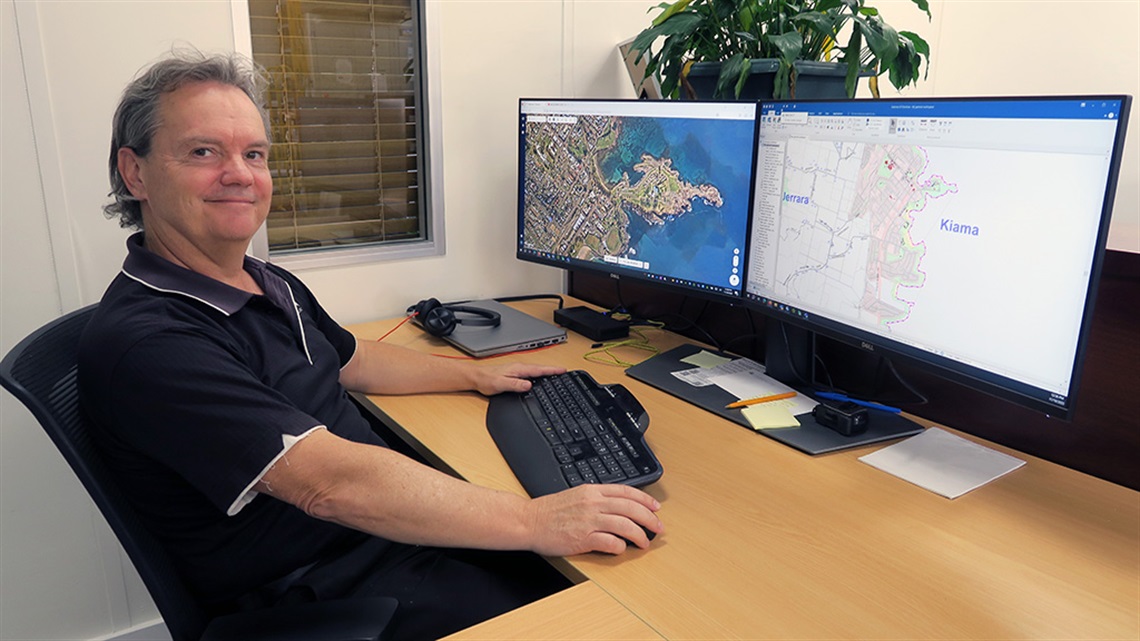
For more than thirty years our GIS Officer Brad has been keeping an eye on our municipality, making sure everything from footpaths to housing estates go in exactly the right spot.
Being a GIS Officer sounds like you're some sort of secret agent. What do you actually do?
Secret agents probably do use GIS, but for different reasons than me! GIS stands for Geographic Information System, put very simply it's computer mapping. Although it's more than simply replacing the old-school paper maps us older folk grew up with.
Maps in survey-accurate digital form allow for clever data analysis, which aids and supports decision making. It also means maps can be displayed and deployed quickly and efficiently. After all, a picture tells a thousand words, right?
GIS Officer isn't exactly a well-known profession like being a teacher, doctor or engineer. How did you end up in this career?
GIS, now referred to as Spatial Information, is a significantly recognised profession with a required degree or diploma. It's also included within surveying and environmental science degrees. When I started work at Kiama Council 30 years ago, I was in town planning when Council needed someone familiar with computers to install and operate its brand new GIS system.
So, I moved from town planning to the IT section, due to the nature of technology, and was given the job of implementing our first GIS software, way back in the mid 90s.
Given so much of council is about managing what happens and where in our municipality, there must be a lot of call for your services?
There are so many uses for GIS across Council operations, from mapping council assets such as stormwater pipes and footpaths to vegetation and heritage sites. It's also incredibly important when you combine and analyse all the different datasets to support forward planning strategies. A good example of this is the maps for Kiama's Local Environmental Plan.
You must have seen major changes to the technology you use?
I've been working at Council since before Microsoft Windows was implemented, which was closely followed by the arrival of the internet (really showing my age there). So, jump ahead to the present and we now have laptops, tablets and smartphones out in the field and in vehicles, serving live data which results in huge time savings and greater efficiencies.
What responsibilities do you have in terms of proper use of the technology?
Our use of GIS is purely limited to our day-to-day operations, mainly survey and location-based information. We do have access to high resolution aerial photos to identify unauthorised constructions or vegetation clearing. But it's not as detailed as they make out in the movies, and there are absolutely no privacy issues.
How has better mapping helped Council and our community?
A great example of this was working with the State Emergency Service during the 2013 tornado disaster. Our mapping captured the tornado path and the trail of destruction. This helped identify hazardous debris such as asbestos as well as identify damaged buildings and other infrastructure. This was then used to plan and monitor the clean-up process.
As a local and a GIS Officer, you must see a very different side of your home turf?
Having lived in Kiama for 43 years and worked at Council for over 30, I have seen a dramatic change in the area.
Like many, I am nostalgic about the less developed and populated serenity of earlier years. At the same time, aerial photos from the 1950s show the extensively cleared and barren rural area primarily used for grazing.
Today there's been a remarkable and significant regrowth of natural vegetation occurring throughout the entire area. I think that's a surprising and encouraging outcome that most of us would not have expected.
Learn more about the Kiama Local Environment Plan:
www.kiama.nsw.gov.au/Plan-and-build/Plans-maps-and-controls/Local-Environmental-Plan


