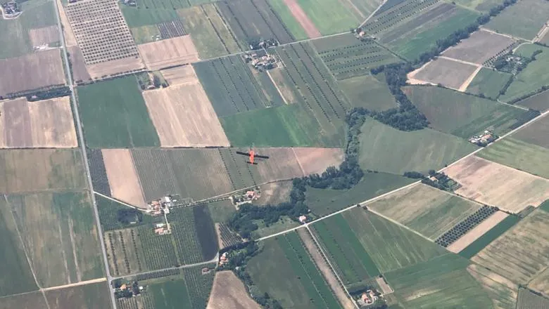
The modified design was used for the first time by the King's NCEO team in a joint European Space Agency (ESA) and NASA airborne campaign in Italy between May and July 2023.

An enhanced sensor design developed by a team from the Department of Geography, should improve the accuracy of a future European Space Agency (ESA) satellite mission which will contribute to monitoring heatwaves and wildfires in the future. The modified design was used for the first time in a joint European Space Agency (ESA) and NASA airborne campaign in Italy between May and July 2023.
Researchers from the National Centre for Earth Observation (NCEO) group at King's have been participating in a multinational project co-funded by ESA and NASA to support the Land Surface Temperature Monitoring Mission (LSTM). The LSTM satellite mission, due to be launched in 2028, will record daily temperature data over urban and agricultural land across the globe. Among its aims are improving monitoring of heatwaves and forecasting food scarcity based on crop models.
The NCEO-King's team are contributing to the satellite design by flying different sensors, including a commercial temperature sensor (Specim's AisaOWL or 'OWL'), on an aircraft to understand how the measurement of surface temperatures is affected by the angle at which the satellite views the surface.
Previously, in 2021 the team studied this 'thermal directionality' by flying a sensor developed by NASA Jet Propulsion Laboratory called HyTES (Hyperspectral Thermal Emission Spectrometer). However, the HyTES sensor was found to have limitations for use in this particular study.
The HyTES sensor could only go from 0 to 25 degrees while the satellite can go up to a viewing angle of 36 degrees. This means we had a whole 10-11 degrees where we couldn't measure what the satellite would be able to measure. We realised that this was a big limitation and we had to do something.
Callum Middleton, Airborne Earth Observation Instrument & Planning Specialist
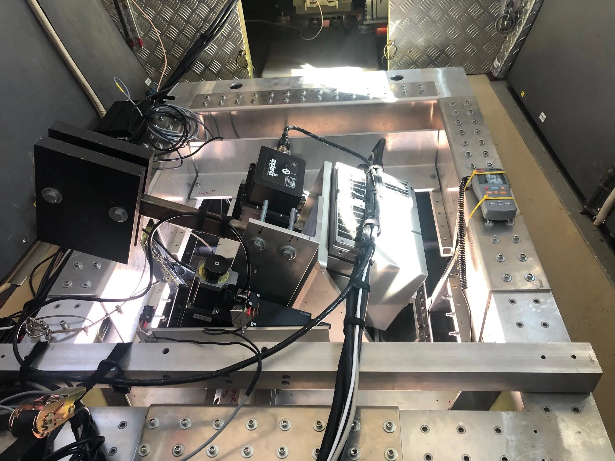
The NCEO-King's airborne team responded by designing and manufacturing a modified mount for the Specim OWL which could rotate and cover the angles which couldn't be reached previously. They called this modified device the 'Wobbly OWL'.
Technicians from the John B Thornes Lab in the Geography department, particularly Naing 'Nathan' Oo, played an instrumental role in mechanising the 'Wobbly OWL'. With the mechanised Wobbly OWL, the NCEO-King's team could now press a button during flight to quickly change the viewing angle of the sensor. The modified Wobbly OWL was critical to achieving the campaign's objectives of recording temperature data as the satellite would, all the way up to its maximum viewing angle. This data will now contribute towards designing the LSTM satellite.
The modified sensor also gave the teams involved in this summer's campaign the unique capability to simultaneously measure the surface temperature from two angles by flying two aircraft side-by-side - one with the HyTES sensor looking straight down and another with the Wobbly OWL at a high angle.
I am quite pleased with the performance and precision of the Wobbly OWL system as it can be rotate to any degree from O to 36 and has safety features in the system for different scenarios. The Wobbly OWL system with the Specim instrument is quite a unique scanning system in the field. It was such a satisfying and rewarding project to work with King's NCEO team on behalf of the JBT lab.
Naing 'Nathan' Oo, JBT lab technician
The team involved in this project also included Professor Martin Wooster, Dr Mary Langsdale, Dr Mark Grosvenor, Dr Hamed Shariatmadar, Dr Francis O'Shea, Sarah Taylor, Toby Wainwright, Ana Betianu and Anneke van der Stege as well as PhD student Farrer Owsley-Brown and MSc students Anastasia Kozhevnikova and Grace Ellsworth. Phil Goy who was then a technician at King's also made significant contributions to designing and building the modified 'Wobbly OWL'.


