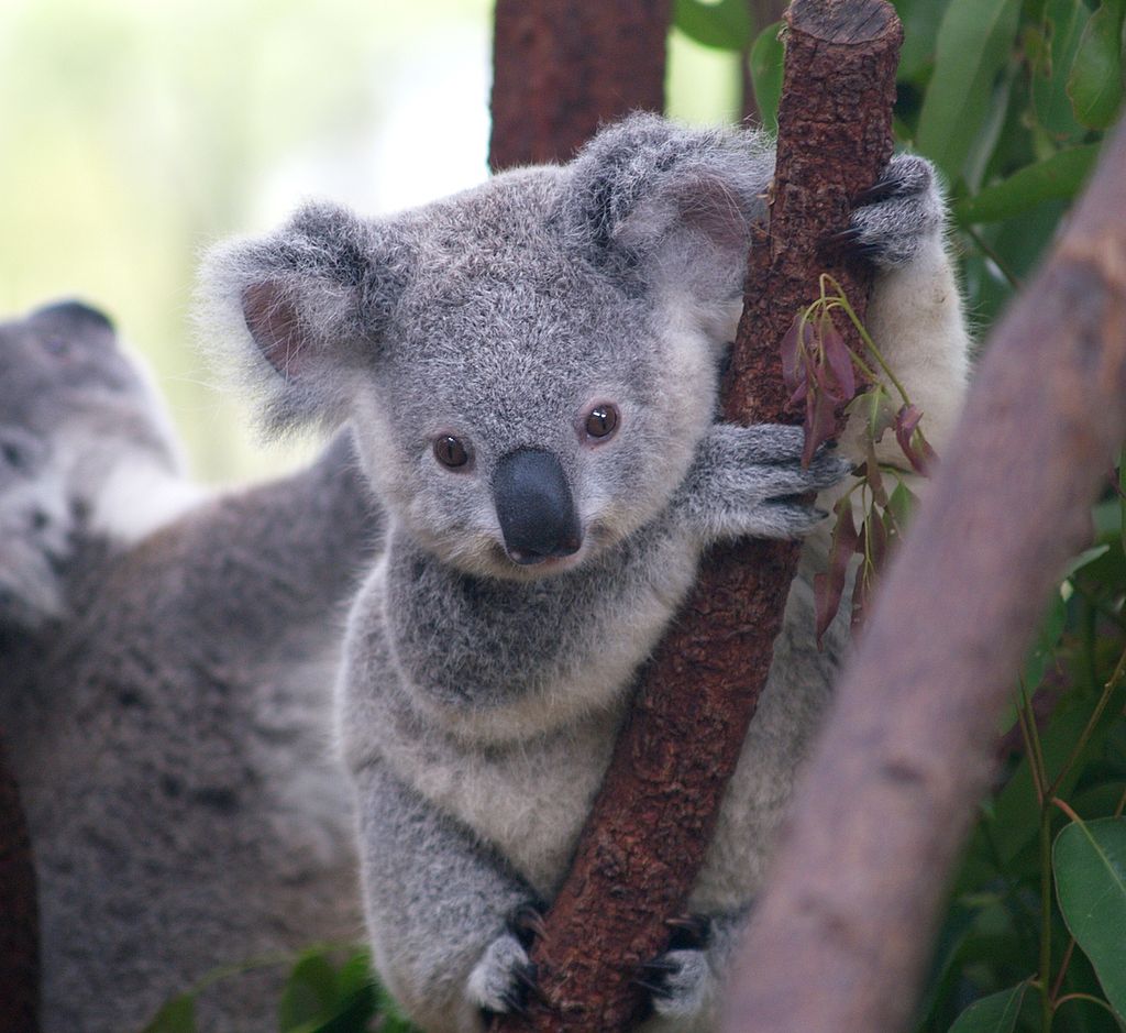
The first stage in the development of Hawkesbury Council's Koala Management Strategy has been completed.
The Fine Scale Vegetation Mapping cross-referenced the Council's existing mapping with Plant Community Type mapping from the Department of Planning and Environment to show accurate woody vegetation and plant types. This work has been coupled with field work to verify the accuracy of the maps.

The detail and scale of the mapping, that will be useful for Council not only for the Koala Management Strategy but across many business departments, was presented to Councillors at Council's 11 March meeting.
Next steps
A koala food tree list will be developed identifying priority koala food tree species particular to the Hawkesbury region.
Determining koala food trees requires discussion and consensus from a panel of local ecology and koala experts. This will be cross-refenced against the Fine Scale Vegetation Mapping to produce a Highly Suitable Koala Habitat map.
The project also includes a Koala Occupancy Survey, a Core Habitat Map, and a Koala Corridor Assessment.
This work will identify the distribution and potential density of koalas in the region and the range of vegetation that is currently home to koalas, as well as their movement across and between habitats. All the information will be compiled into a management strategy that will assist the conservation and protection of koalas in the Hawkesbury.


