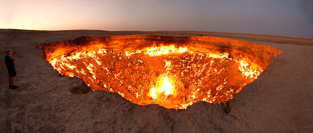
University of Minnesota researchers developed a new tool to measure ethane from space, leading to a better understanding of fossil fuel emissions worldwide. Ethane is commonly found in natural gas and is primarily used in plastics manufacturing.
Recently published in Nature Communications, the team used measurements from a satellite-based instrument to detect how infrared radiation emitted by the Earth travels through the atmosphere and escapes to space. Some of this radiation is absorbed by gases in Earth's atmosphere, and this provides a way to quantify the abundance of those gases.
"Oil and gas extraction degrades air quality and contributes to climate warming. Diagnosing and mitigating these impacts requires accurate knowledge of the underlying emissions," said co-author Dylan Millet, a professor in the College of Food, Agricultural and Natural Resource Sciences (CFANS). "However, this is challenging due to a lack of measurements and because many key pollutants have other sources that are hard to distinguish from the oil and gas emissions."
The team used a machine learning algorithm to determine the atmospheric ethane concentrations based on the satellite measurements, then used the results to map ethane over key oil and gas basins around the world.
They found:
- The Permian Basin in western Texas and southeastern New Mexico has the highest persistent ethane signals on the planet.
- This single basin accounts for at least 4-7% of the total fossil-fuel ethane source worldwide.
- Analysis of the observations shows that ethane emissions from the Permian are currently underestimated by seven-fold.
This research is a first step towards using satellite measurements to track atmospheric ethane emissions. Tools are planned that will provide measurement continuity into the 2030s and the ability to map fossil fuel emission changes over time. Additional instruments are being planned for launch into geostationary orbits, which will provide hourly, rather than daily, observations and finer-scale information to better understand and reduce air pollutant emissions.
"We've known for some time that our current estimates of ethane emissions are too low, and this new tool allows us to see where on the planet those missing emissions are probably coming from. The Permian Basin is the most obvious ethane emitter in our dataset, but we can see fossil fuel emissions all over the world and will be examining those sources too in the near future," said lead author Jared Brewer, a postdoctoral associate in CFANS.
This work was supported by the National Aeronautics and Space Administration and National Oceanic and Atmospheric Administration.
About the College of Food, Agricultural and Natural Resource Sciences
The University of Minnesota's College of Food, Agricultural and Natural Resource Sciences strives to inspire minds, nourish people, and sustainably enhance the natural environment. CFANS has a legacy of innovation, bringing discoveries to life through science and educating the next generation of leaders. Every day, students, faculty, and researchers use science to address the grand challenges of the world today and in the future. CFANS offers an unparalleled expanse of experiential learning opportunities for students and the community, with 12 academic departments, 10 research and outreach centers across the state, the Minnesota Landscape Arboretum, the Bell Museum, and dozens of interdisciplinary centers. Learn more at cfans.umn.edu.