The Mining Remediation Authority acts quickly to protect people and the environment after hole appears overnight in farmer's field in County Durham.
On 5 February, our Public Safety and Subsidence team was made aware of the collapse in a farmer's field and over a public bridleway in the Bishop Auckland area.
The collapse, measuring 7 metres in diameter and up to 50 metres deep, was quickly secured and planning work to fill it began immediately.
From our mining archives of more than 120,000 mine abandonment plans, we were able to establish that the shaft was recorded on Ordnance Survey maps as far back as 1884, known simply as Old Shaft.
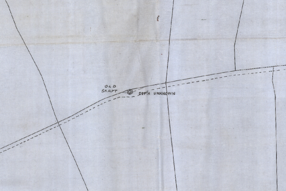
Ordnance Survey map showing the location of Old Shaft.
Works to secure the shaft began this week, with more than 100 tonnes of aggregate and other material expected to be needed to fill the shaft and help determine its true depth.
The site will then be secured and and monitored to ensure there are no further issues.
Project manager Jordan Owens said:
It was essential that we acted quickly to make this collapse safe as it was affecting a public bridleway and posed a risk to the public.
The scale of the collapse was certainly a surprise. It is unusual to see a shaft of this scale and that made it even more important to make the area safe as a priority.
We are thankful to the landowner for his cooperation during this work.
This is one of more than 600 incidents that our Public Safety and Subsidence team responds to every year.
If you notice a mine-related hazard, call our 24/7/365 hazard line on 0800 288 4242.


