5 min read
NASA has selected six new airborne missions that include domestic and international studies of fire-induced clouds, Arctic coastal change, air quality, landslide hazards, shrinking glaciers, and emissions from agricultural lands. NASA's suite of airborne missions complement what scientists can see from orbit, measure from the ground, and simulate in computer models.
Funded through the agency's Earth Venture program, the missions center around the use of instruments mounted on aircraft to make measurements in finer detail-both in spatial resolution and shorter time scales-than can be made by many satellites. Competitively selected, the missions provide opportunities to supplement satellite observations and make innovative measurements.
"These missions will help us interpret what our current satellites are seeing from space and test new ideas and techniques for our upcoming Earth System Observatory," said Karen St. Germain, director of NASA's Earth Science Division. "There is also a strong focus on actionable Earth science-gathering fundamental observations that have connections to our economy and societal decision-making and information needs."

Roughly $120 million has been allotted for the six missions, which will deploy at various times from 2026 to 2029. Three lead investigators were chosen for each mission, with at least one required to be an early career scientist. Full staffing of the science teams and selection of complementary instruments will be competed in the coming months. These changes in the selection process were made to promote diversity, equity, and inclusion in the teams.
"We are constantly looking to foster the growth of the next generation of scientists," said Barry Lefer, the program manager who led the Earth Venture selection panels at NASA Headquarters in Washington. "This round of missions will put an extra emphasis on bringing new people into mission planning and leadership."
The six missions include:
Arctic coastal change
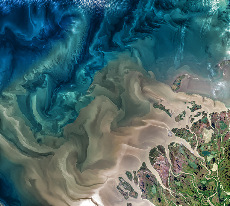
Maria Tzortziou of the City College of New York will lead a project to observe changes in river systems on the North Slope of Alaska. Known as FORTE (short for Arctic Coastlines-The Frontlines of Rapidly Transforming Ecosystems), the project will combine optical and radar measurements from planes, helicopters, boats, and drones to measure water flows and chemistry and observe how ecosystems respond to changing climate. The team will collaborate with indigenous communities to sustain observations over time.
Clouds created by fire

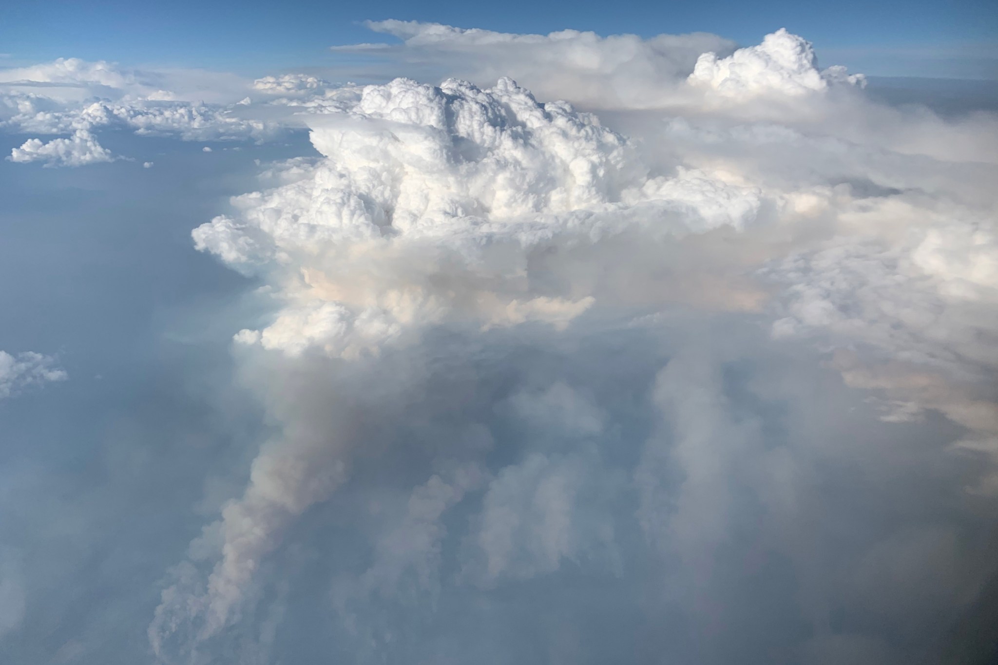
In PYREX-the Pyrocumulonimbus Experiment-David Peterson of the Naval Research Laboratory in Washington will lead a study of pyrocumulonimbus clouds, which form when wildfires burn hot enough to make their own weather. Flying over the western U.S. and Canada, researchers will examine the fire characteristics that produce pyrocumulonimbus, while exploring the mechanisms that lead these clouds to inject smoke into the stratosphere, where it can have climate effects.
Urban air pollution
James Crawford of NASA's Langley Research Center in Hampton, Virginia, will lead HAMAQ (Hemispheric Airborne Measurements of Air Quality), a project that capitalizes on the recent launches of NASA's TEMPO pollution-monitoring satellite instrument and comparable measurements made by Korean and European satellites. Over Mexico City and a U.S. city to be determined, scientists will investigate areas of poor air quality and test how satellite information can help improve ground-based forecasting and mitigation strategies.
Shifting weather, shifting lands
Climate change is leading to more extreme droughts and rainfall events that affect the stability of hillslopes and the soil and rock on them. Led by Alexander Handwerger of NASA's Jet Propulsion Laboratory in Pasadena, California, LACCE (Landslide Climate Change Experiment) will combine airborne measurements with land-based sensors to track the way slopes and landslides are changing as water moves differently across the landscape.
Glacier retreat
John Holt of the University of Arizona will lead Snow4Flow, a project to quantify the retreat of glaciers and ice sheets in ways that can lead to better projections of land-ice change. In Alaska, southeastern Greenland, the Canadian Arctic, and Svalbard, the team will use microwave and high-frequency radar sounders to measure snow accumulation, ice melting, and changes in ice thickness and motion.
Agricultural emissions
While the burning of fossil fuels remains the leading source of carbon in our atmosphere, farmlands and ranchlands are also substantial sources of gas and particle emissions. In the NTERFAACE (Nitrogen and Carbon Terrestrial Fluxes: Agriculture, Atmospheric Composition, and Ecosystems) mission, led by Glenn Wolfe of NASA's Goddard Space Flight Center in Greenbelt, Maryland, researchers will measure the amount of greenhouse gases, nitrogen, and other pollutants that are emitted from agricultural lands across the United States.
The PYREX and Snow4Flow missions are funded at $30 million each, while the other four projects will each receive $15 million. These six investigations were selected from 42 proposals. The 2024 selections represent the fourth series of NASA Earth Venture investigations, which were first recommended by the National Research Council in 2007.
For more on NASA Earth Science, visit: science.nasa.gov/earth


