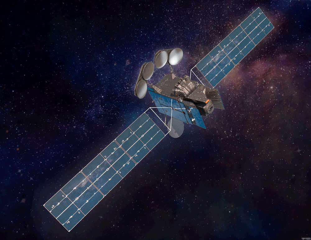
NASA has made new data available that can provide air pollution observations at unprecedented resolutions - down to the scale of individual neighborhoods. The near real-time data comes from the agency's TEMPO (Tropospheric Emissions: Monitoring of Pollution) instrument, which launched last year to improve life on Earth by revolutionizing the way scientists observe air quality from space. This new data is available from the Atmospheric Science Data Center at NASA's Langley Research Center in Hampton, Virginia.
"TEMPO is one of NASA's Earth observing instruments making giant leaps to improve life on our home planet," said NASA Administrator Bill Nelson. "NASA and the Biden-Harris Administration are committed to addressing the climate crisis and making climate data more open and available to all. The air we breathe affects everyone, and this new data is revolutionizing the way we track air quality for the benefit of humanity."
The TEMPO mission gathers hourly daytime scans of the atmosphere over North America from the Atlantic Ocean to the Pacific Coast, and from Mexico City to central Canada. The instrument detects pollution by observing how sunlight is absorbed and scattered by gases and particles in the troposphere, the lowest layer of Earth's atmosphere.
"All the pollutants that TEMPO is measuring cause health issues," said Hazem Mahmoud, science lead at NASA Langley's Atmospheric Science Data Center. "We have more than 500 early adopters using these datasets right away. We expect to see epidemiologists and health experts using this data in the near future. Researchers studying the respiratory system and the impact of these pollutants on people's health will find TEMPO's measurements invaluable."
An early adopter program has allowed policymakers and other air quality stakeholders to understand the capabilities and benefits of TEMPO's measurements. Since October 2023, the TEMPO calibration and validation team has been working to evaluate and improve TEMPO data products.


