A team of scientists and engineers at NASA and the U.S. Geological Survey (USGS) collaborated to see if a small piloted drone, equipped with a specialized payload, could help create detailed maps of how fast water is flowing. Rivers supply fresh water to our communities and farms, provide homes for a variety of creatures, transport people and goods, and generate electricity. But river flows can also carry pollutants downstream or suddenly surge, posing dangers to people, wildlife, and property. As NASA continues its ongoing commitment to better understand our home planet, researchers are working to answer the question of how do we stay in-the-know about where and how quickly river flows change?
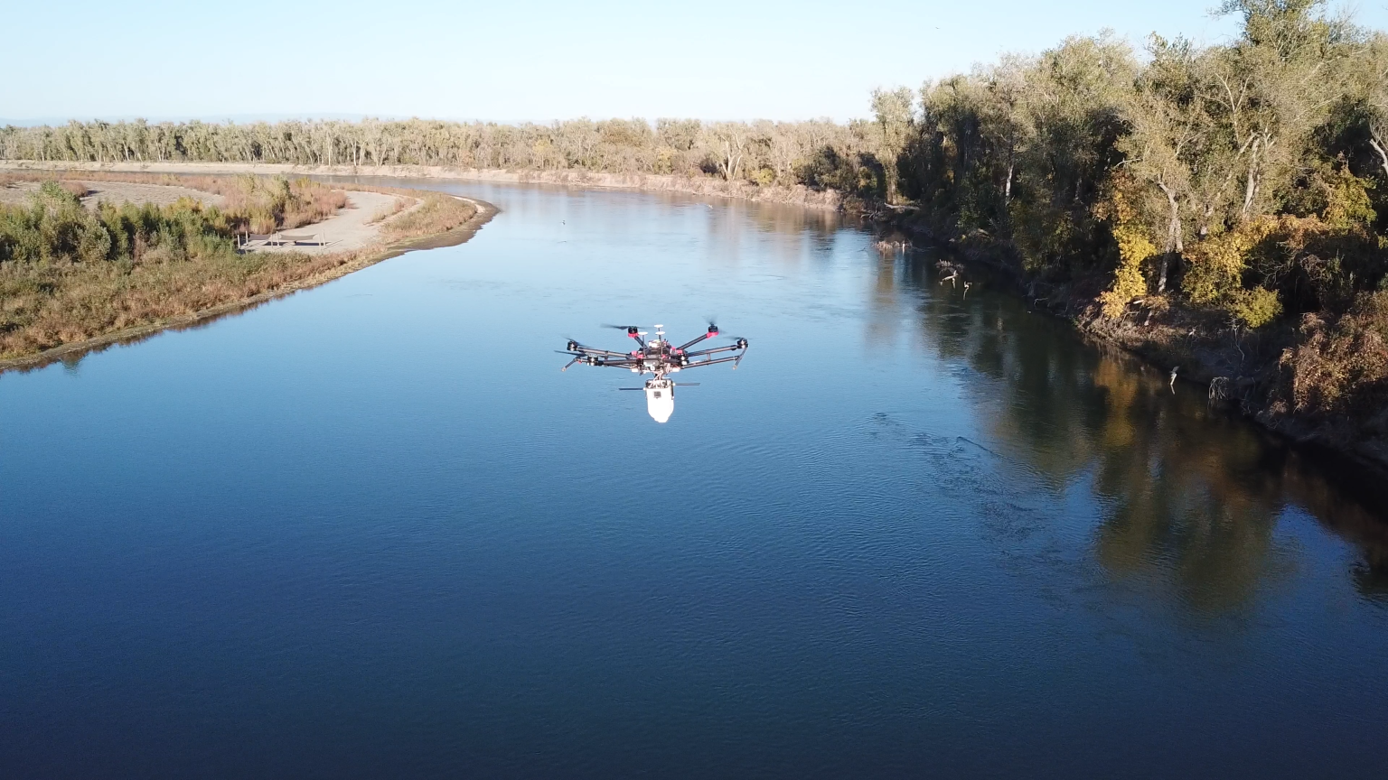
NASA and USGS scientists have teamed up to create an instrument package - about the size of a gallon of milk - called the River Observing System (RiOS). It features thermal and visible cameras for tracking the motion of water surface features, a laser to measure altitude, navigation sensors, an onboard computer, and a wireless communications system. In 2023, researchers took RiOS into the field for testing along a section of the Sacramento River in Northern California, and plan to return for a third and final field test in the fall of 2024.
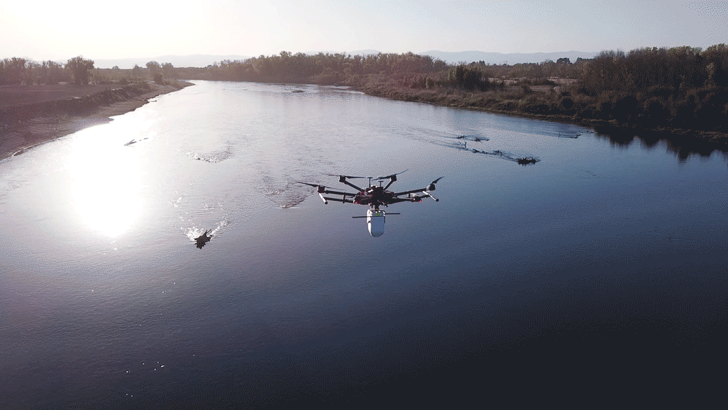
"Deploying RiOS above a river to evaluate the system's performance in a real-world setting is incredibly important," said Carl Legleiter, USGS principal investigator of the joint NASA-USGS StreamFlow project. "During these test flights we demonstrated that the onboard payload can be used to make calculations - do the analysis - in nearly real-time, while the drone is flying above the river. This was one of our top-tier goals: to enable minimal latency between the time we acquire images and when we have detailed information on current speeds and flow patterns within the river."
To realize this vision for onboard computing, the team uses open-source software, combined with their own code, to produce maps of water surface velocities, or flow field, from a series of images taken over time.
"You might think that we need to be able to see discrete, physical objects - like sticks or silt or other debris as they move downstream - to estimate the flow velocity, but that's not always the case, nor is it always possible," said Legleiter. "Using a highly-sensitive infrared camera, we instead detect the movement of subtle differences in the temperature of water carried downstream."
Those same tiny temperature differences also appear wherever there are undulations - like at the boundary between the air and the water or ice below. Knowing this, NASA members of the StreamFlow team used this phenomenon to their advantage when developing methods for possible future landed planetary missions to navigate at distant and hard-to-see environments, including Europa, the icy moon orbiting Jupiter.


