3 min read
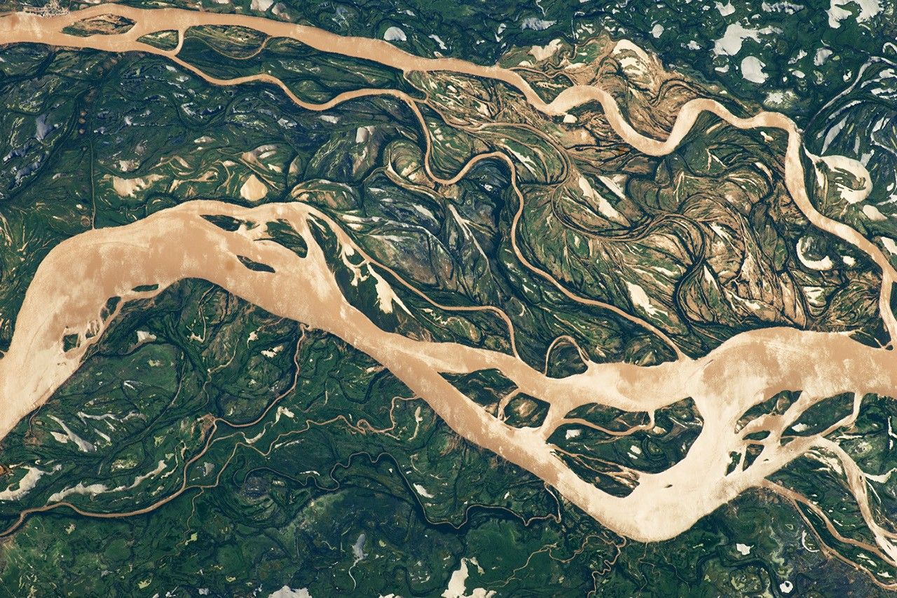
Rivers and streams wrap around Earth in complex networks millions of miles long, driving trade, nurturing ecosystems, and stocking critical reserves of freshwater.
But the hydrologists who dedicate their professional lives to studying this immense web of waterways do so with a relatively limited set of tools. Around the world, a patchwork of just 3,000 or so river gauge stations supply regular, reliable data, making it difficult for hydrologists to detect global trends.
"The best way to study a river," said Colin Gleason, Armstrong Professional Development Professor of Civil and Environmental Engineering at the University of Massachusetts, Amherst, "is to get your feet wet and visit it yourself. The second best way to study a river is to use a river gauge."
Now, thanks to Gleason and a team of more than 30 researchers, there's another option: 'Confluence,' an analytic collaborative framework that leverages data from NASA's Surface Water and Ocean Topography (SWOT) mission and the Harmonized Landsat Sentinel-2 archive (HLS) to estimate river discharge and suspended sediment levels in every river on Earth wider than 50 meters. NASA's Physical Oceanography Distributed Active Archive Center (PO.DAAC) hosts the software, making it open-source and free for users around the world.
By incorporating both altimetry data from SWOT which informs discharge estimates, and optical data from HLS, which informs estimates of suspended sediment data, Confluence marks the first time hydrologists can create timely models of river size and water quality at a global scale. Compared to existing workflows for estimating suspended sediment using HLS data, Confluence is faster by a factor of 30.


