The £2.1 million Weardale Natural Flood Management project has seen 25 features constructed in the stunning Upper Weardale landscape to reduce flood risk for communities.
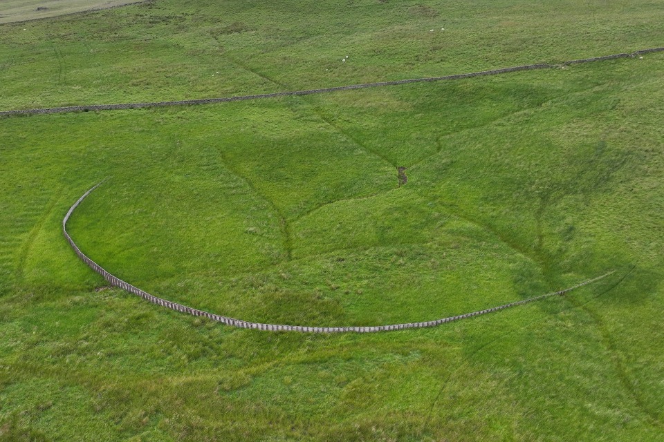
The series of nature-based flood risk solutions includes storage basins, wooden leaky barriers and timber fences, all of which hold water back on the land during times of heavy rainfall.
They reduce flood risk across 41 square kilometres (16 square miles) to communities including Lanehead, Wearhead, Westgate and Stanhope.
The work explores reducing flood risk using natural flood management techniques to communities which have historically flooded due to water running from the surrounding hills.
The combined storage of all 25 features has the capacity to hold back approximately 10,000m3 of water, the equivalent of four Olympic sized swimming pools!
The project also includes 150 hectares of peatland restoration, bringing a habitat boost to wildlife.
'Innovative approach'
The Environment Agency is working in partnership with Natural England, the North Pennines National Landscape team, Forestry Commission and Durham County Council with representation from the Wear Catchment Partnership, alongside local farmers and landowners.
Laura Parsons, Environment Agency Project Manager said:
This innovative approach will help us to understand how natural flood management features can help reduce flood risk to communities, by holding back water on the land during stormy conditions.
This area has a long history of flooding from the hills into the valley and the local community and landowners have been pivotal in helping us understand where the features can be best placed to provide the greatest benefits to reduce flood risk.
Not only is it protecting local communities, it's bringing so many positive benefits for climate regulation, wildlife, water quality and amenity.
Landowners play key role
Features include:
- At Killhope Burn, 13 leaky dams were built across the burn to restrict the flow of water,
- Four timber fences were also constructed in this area to slow the movement of water across the landscape.
- At Middlehope Burn, four storage areas were created which will hold back water during heavy rain.
- Also at Middlehope, three timber fence barriers were constructed in addition to the original Weardale demonstrator site that was constructed in 2019.
Work started on the main project in 2021 and is now complete. Many of the features were constructed by famers and landowners, bringing new skills for them to create their own features in future, and using locally sourced materials.
The project now moves into a 10-year monitoring and maintenance programme which is delivered by the North Pennines National Landscape Team.
This data will help partners understand the maintenance requirements of natural solutions in the future and how well they work in protecting communities long-term, and will support further nature based projects going forward.
Sarah Tooze, Nature Recovery Manager with the North Pennines National Landscape team, said:
We are looking forward to supporting landowners to maintain their natural flood management, and helping to monitor their impact in the longer term.


