This article first appeared in the special feature Understanding the Impact of Climate Change.
15 questions for climate change researcher Dr. Ram Avtar (with subtitles)
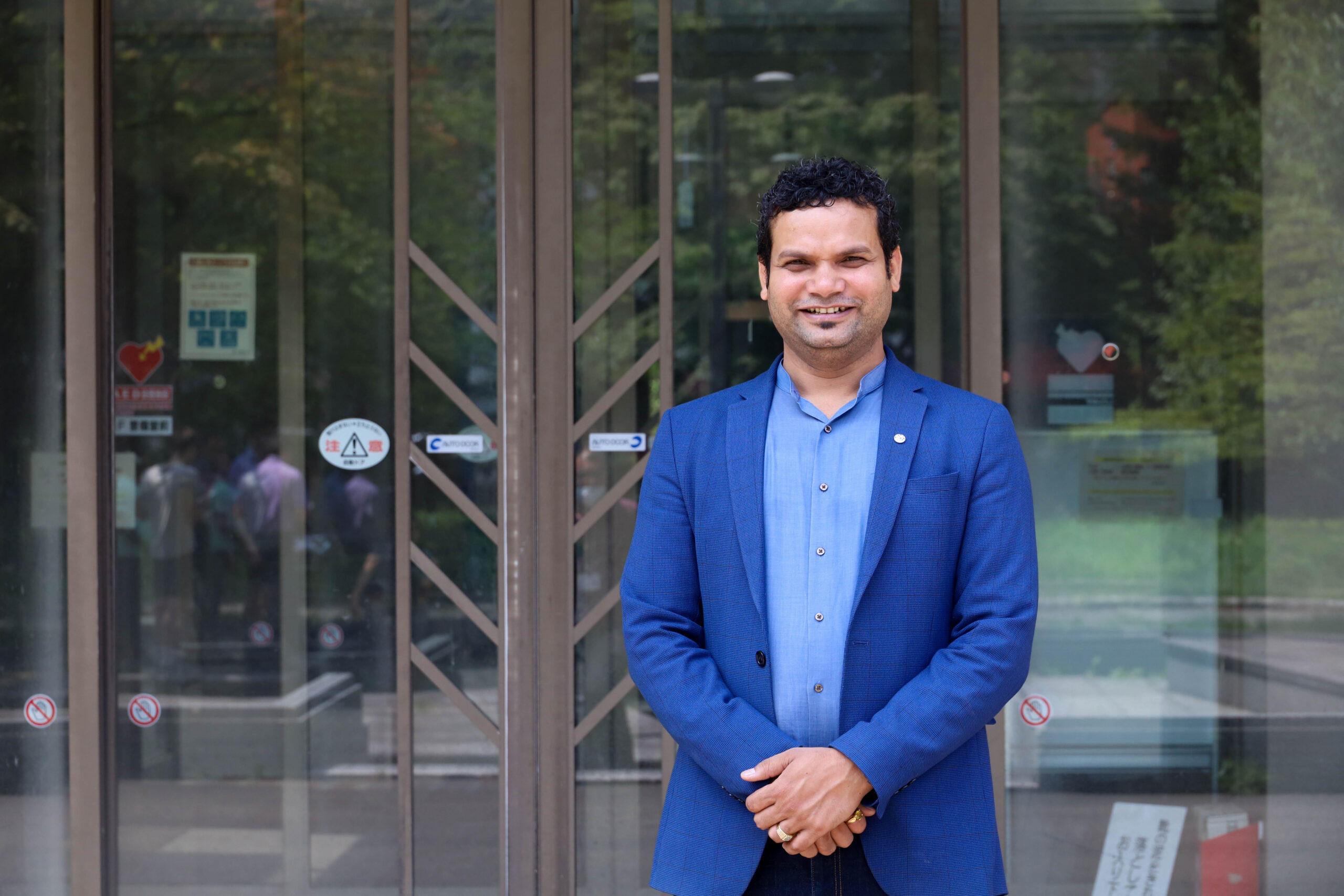
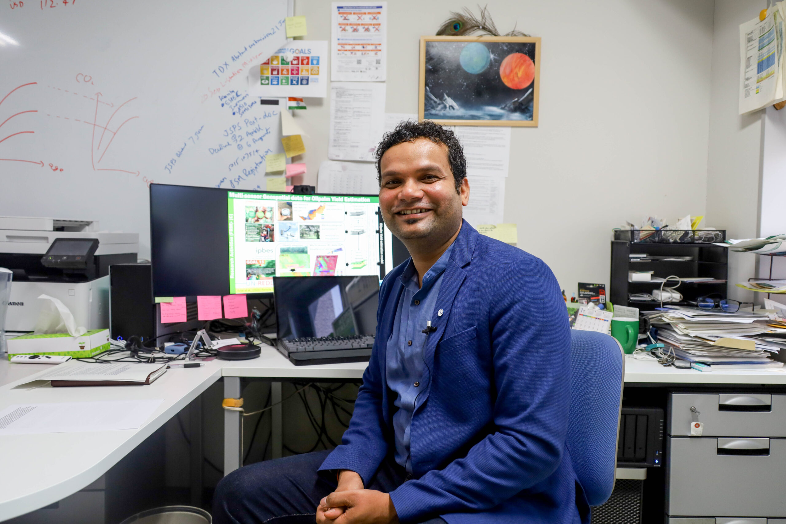
Associate Professor Ram Avtar, Faculty of Environmental Earth Sciences, Hokkaido University (Photo by Miho Nagao)
Sustainability practices play a crucial role in mitigating and adapting to the effects of climate change. The United Nations Sustainable Development Goals (SDGs) are a set of seventeen interlinked goals for achieving long-term sustainability. Hokkaido University actively contributes to the achievement of these goals in various fields. Associate Professor Ram Avtar at the Faculty of Environmental Earth Science spoke about how he uses remote sensing and geographic information systems (GIS) to track progress towards the SDGs.
Tracking progress of sustainability initiatives
My research focuses on developing and employing geospatial methods to support the implementation of the SDGs. My work with remote sensing (RS) and Geographic Information Systems (GIS) for the SDGs specifically related to Goal 15: Life on Land, is instrumental in addressing climate change. According to the Intergovernmental Panel on Climate Change (IPCC), approximately 20 percent of global CO2 emissions result from deforestation and forest degradation. This stark statistic underscores the direct link between unsustainable practices, such as rampant deforestation, and the worsening of climate change.
The final report of the Millenium Development Goals (MDGs), the predecessor to the SDGs, revealed a lack of data as a significant obstacle in achieving the MDGs. This brought home to me the importance of data for achieving the SDGs.
I also serve as the director of the Japan Nodal Office of the Global Land Programme, an interdisciplinary community dedicated to studying land systems and the co-designing of solutions for global sustainability.
Sustainability underlies my research
My other research projects also contribute to sustainability, in one way or another. I am involved in a precision agriculture project, conducting training programs demonstrating how farmers in Southeast Asia can utilize drone data for precision agriculture. I work in urban sustainability, looking into how we can use 3D building data to understand urban land surface temperatures and urban heat island related issues. In the field of sustainable water resource management, I explore how remote sensing and sensor based technology can monitor water quality. Finally, I address disaster related issues, examining the impact of typhoons on forests, forest regeneration in typhoon-affected areas, and the loss of soil carbon due to large-scale landslides.
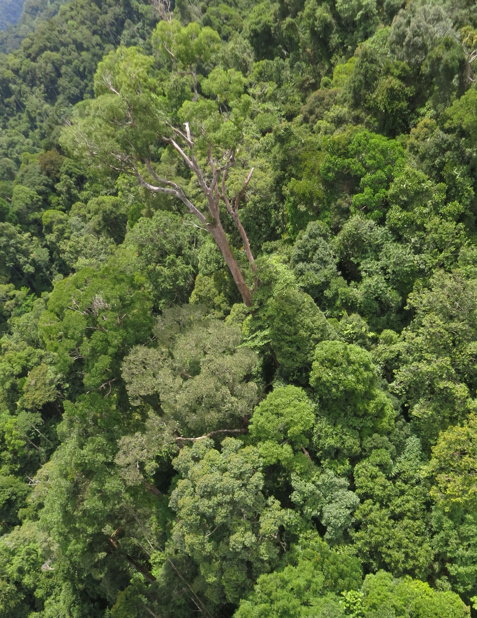
The Primary Tropical Forest canopy viewed from a UAV, Cambodia, July 2021. (Photo by Stanley Anak Suab)
What drivers and effects of climate change can be observed by remote sensing?
Remote sensing technology empowers us to monitor several key drivers and effects of climate change, primarily in terrestrial ecosystems. Through this technology, we can access invaluable data on temperature patterns, precipitation dynamics, and sea-level fluctuations, all of which are pivotal in comprehending the ever-evolving climate scenario.
One of the key applications of remote sensing is the monitoring of temperature patterns. Specialized thermal sensors aboard satellites enable the global observation of temperature trends and profiles. This data allows us to track temperature variations and identify hotspots.
Satellites equipped with sensors like the Tropical Rainfall Measurement Mission (TRMM) can estimate precipitation and rainfall, both temporally and spatially. These observations are crucial for understanding shifting precipitation patterns and their implications for various regions.
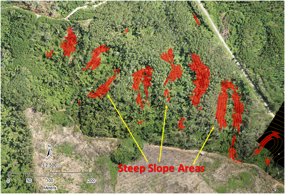
Data analysis involves utilizing slope information and topographic contours derived from the SRTM overlay, in conjunction with UAV imagery. This integrated approach aims to identify and pinpoint steep slope areas that should be avoided prior to initiating any forest logging activities. (Photo by Stanley Anak Suab)
Sea-level rise, a critical effect of climate change, is also detectable through remote sensing. Satellites equipped with altimeters can precisely measure sea-level changes, aiding in the monitoring of rising sea levels-a phenomenon that poses significant threats to coastal communities worldwide.
Combining satellite data with data collected on the ground allows for the creation and validation of robust climate models.
Deforestation drives climate change
One of my projects involves sustainability research and policy related to forests in Cambodia. Deforestation in Cambodia has had far-reaching impacts on the local climate, resulting in observable changes and disruptions within Mainland Southeast Asia. Some of the prominent effects include a noticeable increase in temperature, with recent studies documenting temperature increases of up to 43 degrees Celsius. This warming trend can worsen heatwaves and disrupt local ecosystems.
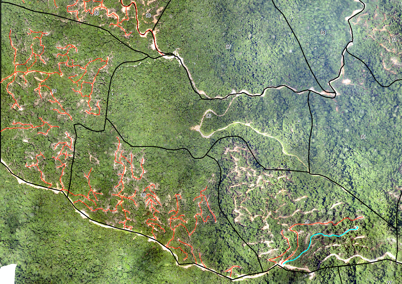
Red lines delineate areas earmarked for selective timber logging in tropical forests, while black boundaries demarcate individual compartments within the timber concession. The purpose is to continually monitor the ongoing progress and assess the impacts of selective logging on forest clearing and soil health (Photo by Stanley Anak Suab)
Furthermore, deforestation has caused shifts in temperature and precipitation patterns, affecting the suitability of certain crops. Farmers must adapt to these changing conditions, potentially leading to reduced agricultural productivity. The alteration in the water cycle due to deforestation has also caused fluctuations in water levels, particularly in critical areas like the Mekong River basin and the Tonle Sap Lake. These changes can have adverse consequences for fisheries and water resources.
Additionally, deforestation contributes to shifts in local weather patterns, resulting in an increased occurrence of extreme weather events, including heavy rainfall and temperature extremes. These events can disrupt communities and ecosystems, posing significant challenges for the people and the environment in Cambodia. Such climate-related shifts emphasize the urgent need to address deforestation and implement sustainable land management practices.
Sustainability extends beyond the SDGs
One of the projects I have been involved in is UN-REDD+, a voluntary climate change mitigation framework developed by the United Nations Framework Convention on Climate Change (UNFCCC). I work on implementing the REDD+ framework in Cambodian forests.
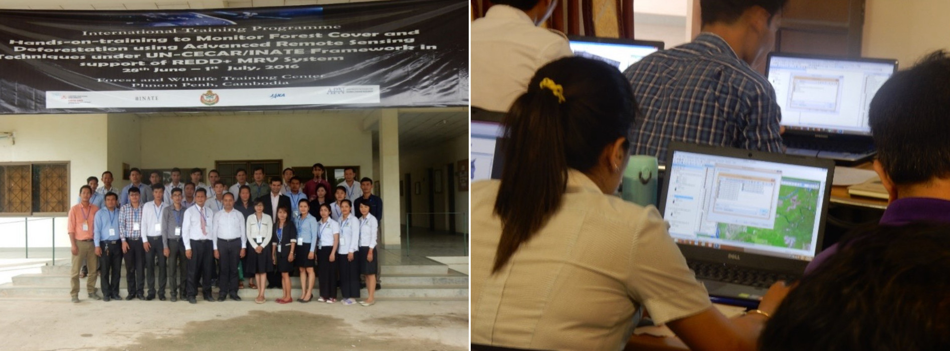
REDD+ training program in Cambodia (Photos courtesy of Ram Avtar)
Deforestation in Cambodia results from a complex interplay of various factors, all contributing to the alarming rate of forest loss in the country. Among the primary drivers are agricultural expansion, as the growing population demands more arable land for farming activities. Illegal timber harvesting also poses a persistent problem, driven by individuals seeking income from logging.
Rural poverty and the necessity for fuelwood collection further exacerbate the situation, as impoverished communities heavily rely on forests for essential resources like cooking and heating, leading to unsustainable wood resource extraction. Additionally, forest land clearance is common to accommodate infrastructure development, agriculture, and urban expansion, further diminishing the forest cover in Cambodia.
The increasing population in the country intensifies resource demand, including land, timber, and agricultural space, exerting additional pressure on forests. Forest fires, frequently exacerbated by drought and human activities, contribute significantly to deforestation by devastating extensive forested areas. Finally, the establishment of large-scale plantations, such as those for rubber and palm oil, often involves clearing substantial forested tracts.
Implementing UN-REDD+ requires deployment of a monitoring, reporting, and verification (MRV) system. Our efforts include implementing an MRV system based on monitoring various biophysical parameters like forest cover, forest height, deforestation, and forest biomass. This data, in turn, supports REDD+ implementation. Currently, I am extending this research to community forestry to involve the local communities in Cambodia for REDD+ implementation. This inclusive approach offers co-benefits to both local communities and the local government through the carbon credits system.
REDD+ training program about collection of forest inventory data in Cambodia (Photos courtesy of Ram Avtar)
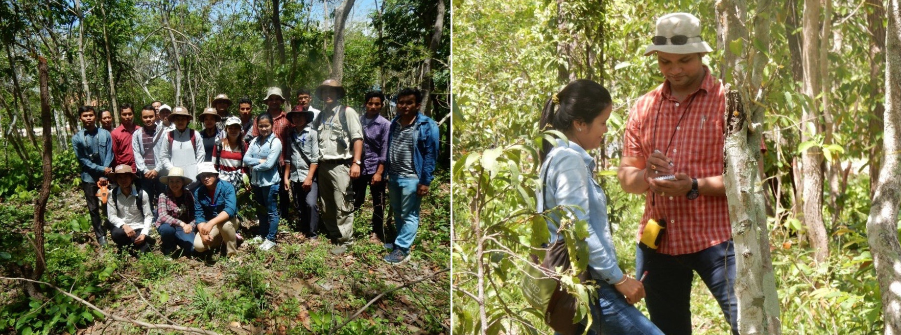
Fieldwork informs models and simulations
Fieldwork is an integral part of my research. We complement satellite data with ground data collected using sensors and drones, build models, and conduct further field research to validate these models. This comprehensive approach allows us to interpret data collected through remote sensing accurately. Personally, I greatly enjoy fieldwork as it is essential to understand the exact phenomena and processes, we aim to study.
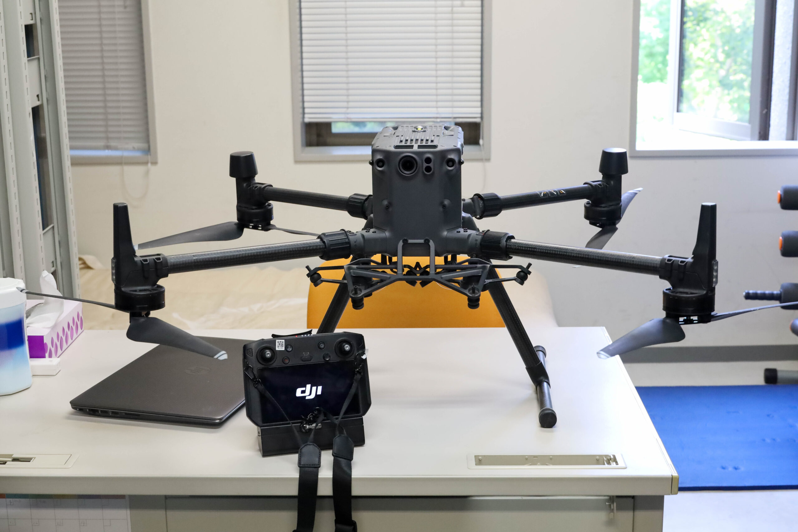
The DJI matrice 300 drone used for observations in the field. (Photo by Miho Nagao)
While in the field, surrounded by the beauty of nature, I often become philosophical. I believe that nature provides us with everything. Human beings have, however, been exploiting nature at an alarming rate, often neglecting sustainable resource management and ecological balance. The myriad issues we face today-pollution, global warming, and climate change, can be traced back to this relentless exploitation.
Remote Sensing and GIS are vital for direct and indirect monitoring
Remote Sensing and GIS play pivotal roles in the direct and indirect monitoring of the SDGs. Achieving this necessitates a multidisciplinary approach that aids in informed decision-making. It is important to note that RS and GIS serve as information sources rather than solutions in themselves.
Consider, for example, Goal 1: No Poverty. Satellite data cannot directly indicate impoverished areas, especially at the granular detail required to evaluate targeted aid distribution. However, once we integrate secondary datasets-such as mobile mapping and census data-with remote sensing information like digital night time light data, we can identify impoverished areas and track changes in their economic conditions over time.
Similarly, for Goal 14: Life Below Water, satellites cannot penetrate beneath the water surface. Nevertheless, they can easily detect changes on the water surface, including those caused by oil spills or algal blooms, which negatively impact aquatic life.
(Photo by Miho Nagao)
Research and Policy are equally essentialUpon completing my PhD at The University of Tokyo, I accepted a position at the Japan Agency for Marine-Earth Science and Technology (JAMSTEC). Following my stint at the JAMSTEC, I was offered a position at the United Nations University, (UNU), a long-cherished dream come true! During my four years at the UNU, I engaged in policy development and different capacity development programs. From these two very different experiences, I realized that both scientific research and policy development are mutually interdependent. Environmental research means little if the findings are not turned into policy for widespread adoption. Likewise, policy development is extremely limited without rigorous research to test various proposals and obtain evidence for the most effective proposal. In my case, I felt the need for more time dedicated to research, as my experiences were insufficient for making substantial contributions to policy development. This motivation led me to take up a position at Hokkaido University, as it offered me the opportunity to establish my own research group and pursue research, which I am passionate about. 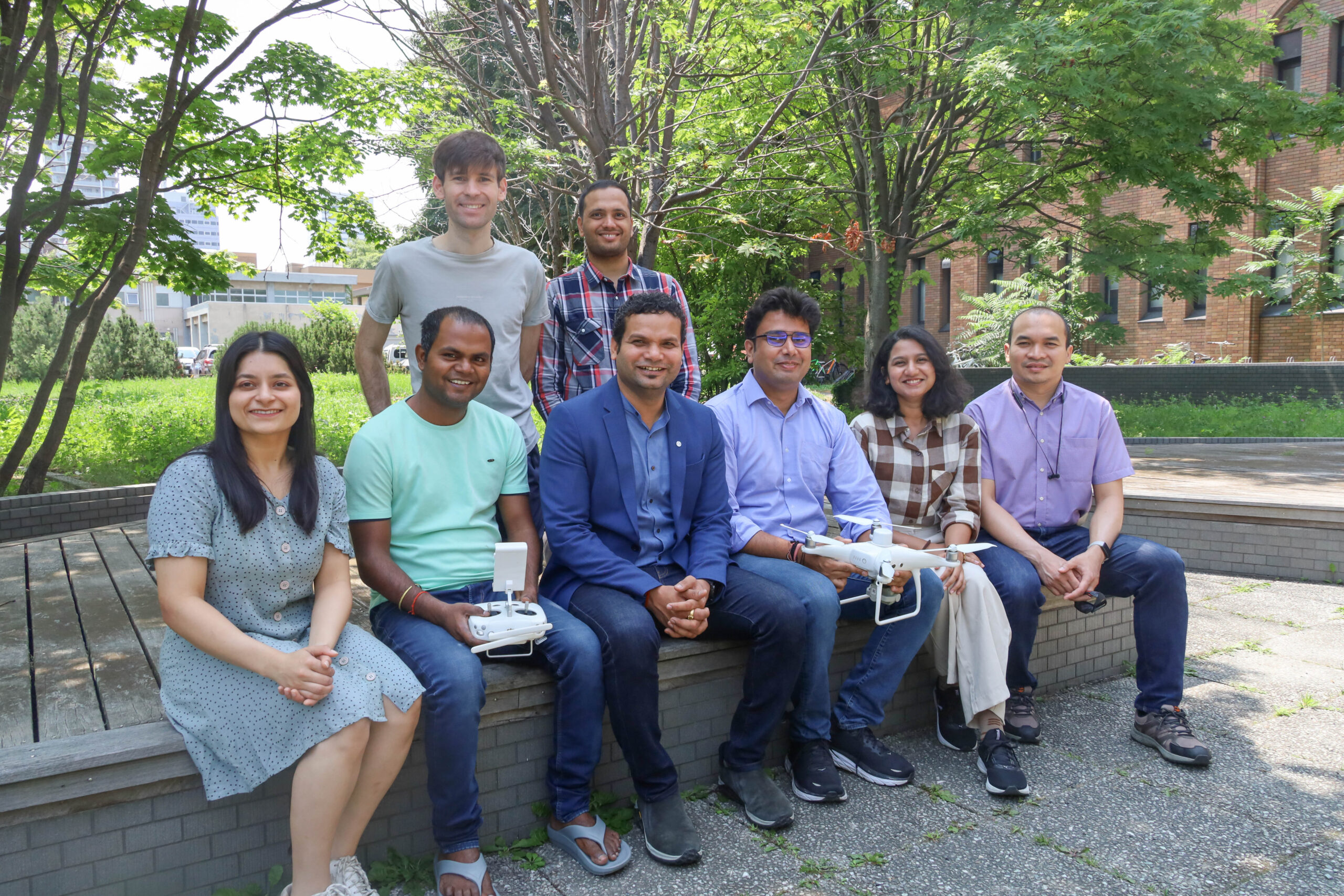 Associate Professor Ram Avtar with his research group (Photo: Miho Nagao) |
Written by Sohail Keegan Pinto
Part of the special feature Understanding the Impact of Climate Change


