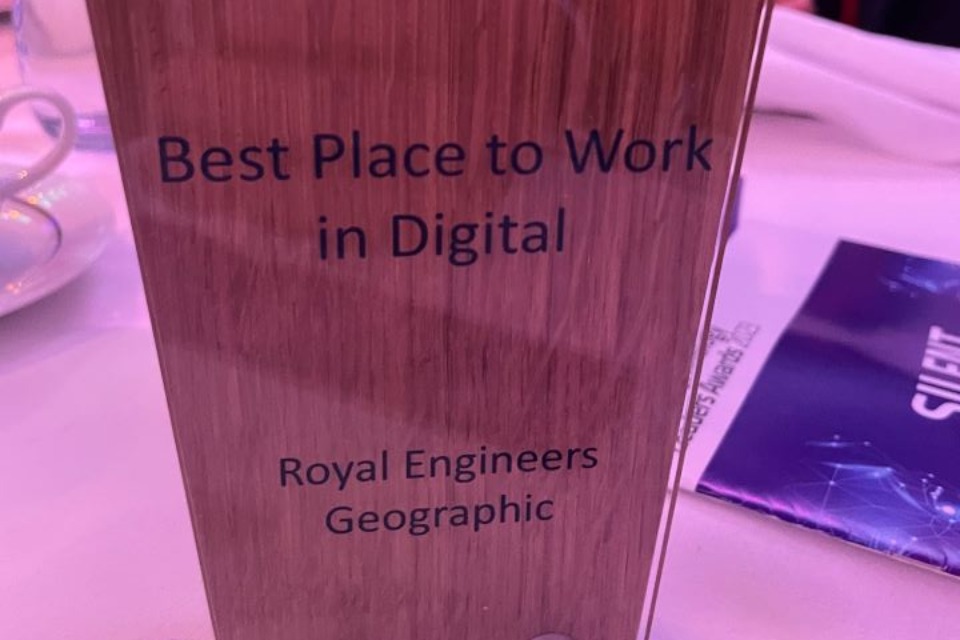
Living within the British Military, they are a little-known team who provide one of the biggest impacts within the very heart of the Government. The Royal Engineer's (Geographic) digital capability department has been established for over 70 years and is part of Strategic Command's National Centre for Geospatial Intelligence (NCGI).
Col Paul Hammett, Commander Royal Engineers Geographic, Head of Profession for the Army's deployable geospatial capability, praised his team for the award:
As the capability lead, I am constantly in awe of the ground-breaking solutions and innovations that soldiers and officers, across Defence's Royal Engineers Geographic diaspora, implement in support of Operations.
I am extremely proud that this close knit, digitally savvy, workforce has been formally recognised for their hard work and dedication to drive forward defence's digital transformation.

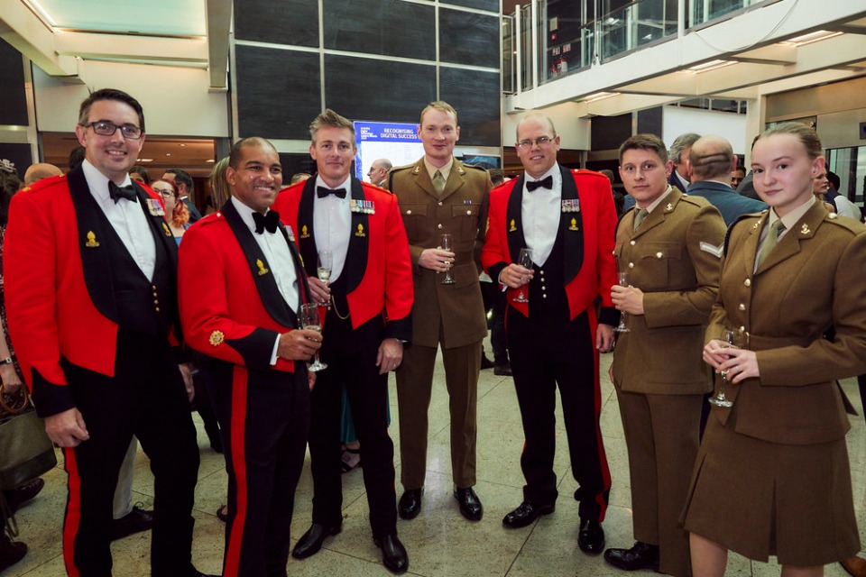
Seven members of the Royal Engineers celebrating their success.
The judges of the Digital Technology leaders Awards were impressed by the team's ability to deliver tangible affects across a range of operational domains, combined with the excellent training and development opportunities within the team, leading them to award Royal Engineers (Geographic) the title.
The team have used their expertise to support some of the most prominent events in the UK's history, including Her Late Majesty Queen Elizabeth's funeral. Soldiers and officers from The Royal Engineers (Geographic) provided vital spatial data analytics and visualisation, enabling the smooth delivery of this international occasion.
Major R Charlesworth RLC, one of the 101 Operational Sustainment Brigade's logistical planners for the event, commented on the team's impact saying:
The visualisation was an absolute force multiplier. With forces coming from across all three services and split between 8 locations a useable and accessible online tool that was able to relay geographic data (routes, spots etc) was vital.
It enabled the Ops teams in these locations to brief routes and control measures in a way that made sense, was easily visualised and interactive. This was then backed up by physical product with the same information, with the short notice timeline for force generation the online tool was the first port of call for briefings of personnel dragged in from across the services.

Their ability to deliver real world solutions at pace and scale is testament to their 'whole force' efforts in continual development and innovative learning. The team have a strong focus on training, including courses from the Royal School of Military Survey (RSMS) where the soldiers and officers have a chance to be awarded a fully funded and accredited BSc or MSc. There are also specific training events focussing on spatial data skills allowing the team to practice their data science skills away from the classroom environment. These digital training events are then augmented with deployments on exercises where the geo digital and data specialists support more generalist commanders and organisations with data information and services.
Offered alongside this is support to personnel's physical and mental fitness, with numerous opportunities to play join sports teams across Defence. This year there have also been expeditions which saw 12 personnel recreate the Heroes of Telemark skiing in Norway, 25 soldiers climbing in Spain, and about 85 other soldiers and officers learn to ski in Austria.
The Royal Engineers (Geographic) have won more than just this award. Externally, they have been finalists in a number of prestigious awards both individually and collectively, including being the only military organisation to have service personnel listed in the DataIQ 100. Internally, the team have had 17 individuals and three teams recognised by Army and Strategic Command senior leaders, as well as the Ministry of Defence's Chief Scientific Advisor, for their outstanding work.


