- Curiosity Home
- Science
- News and Features
- Multimedia
- Mars Missions
- The Solar System
3 min read
Earth planning date: Monday, July 29, 2024
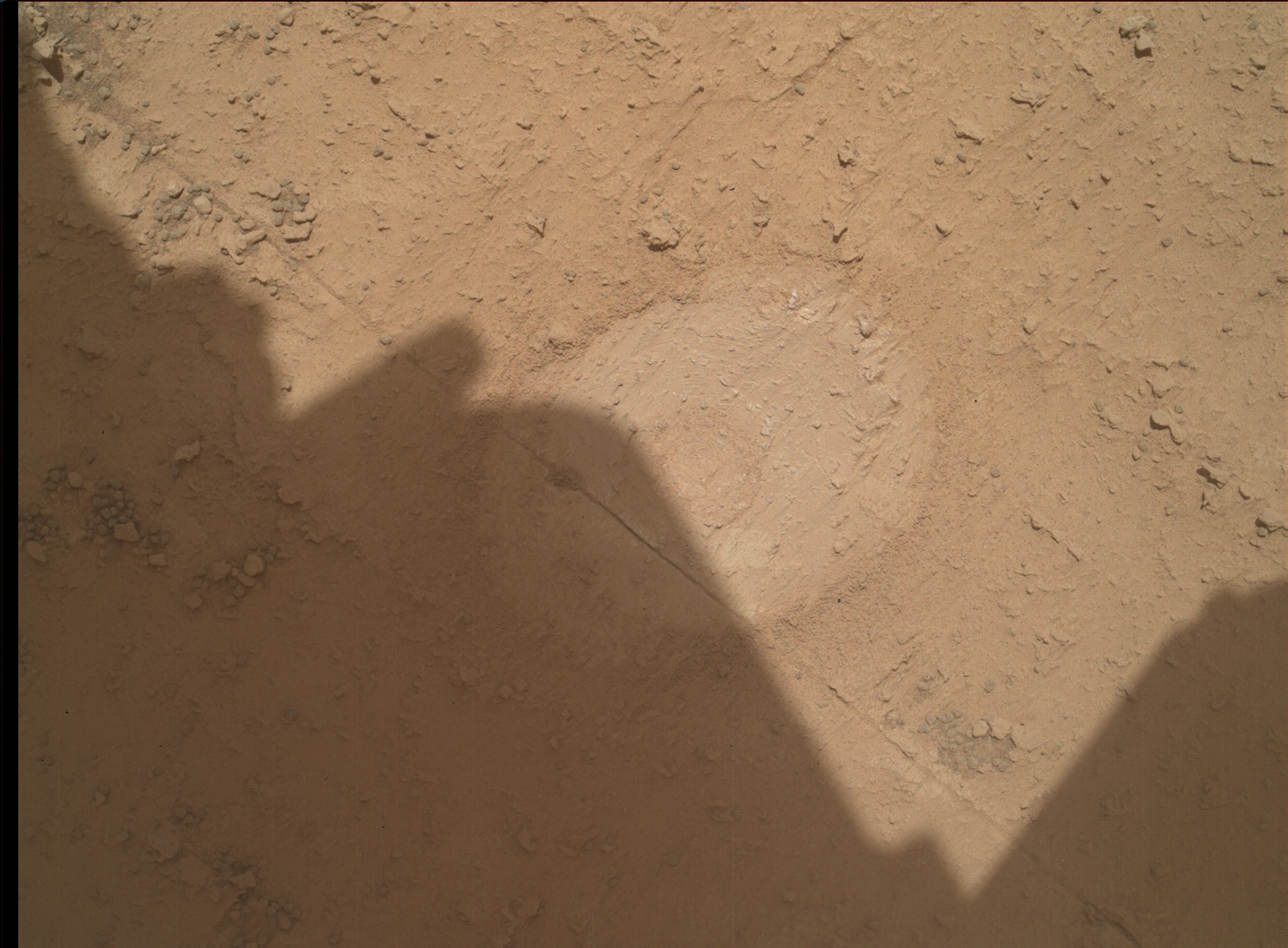
Our weekend drill preload test on the target "Kings Canyon" (shown in the accompanying MAHLI image) didn't give us the full range of data we need to move forward with the full drilling process. This coming Wednesday, we hope to rerun our preload test on Kings Canyon or somewhere very similar on the same bedrock, and to get APXS and ChemCam analyses in order to determine scientific suitability for drilling. As a result, this plan focused on getting the arm ready to fulfill those diagnostic activities, described by our Science Operations Team Chief Elena in last Friday's blog.
In the meantime, we are in such an interesting area that we have a very long liens list (our wish list). Our problem today and probably for the foreseeable future will be a good one - trying to keep below our upper limits on how much of that wish list we are going to try to get in on a given day!
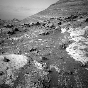
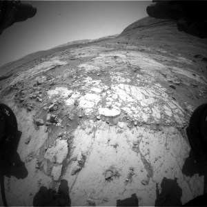
We have recently seen examples of bedrock slabs or outcrops with a flat, paler toned centre and a rim of darker, greyer material which surrounds the main slab. We saw this about 50 sols ago at the Mammoth Lakes drill site and we see it here too. The relationships between the centre of the slab and the rim are very intriguing and we are keen to understand the interplay between the two textures. Mastcam will take two large mosaics in this area. "Sam Mack Meadow" is a 7×4 mosaic (i.e., 4 rows of 7 images) on an area of crushed grey material, and "Merced Grove" is a 7×6 mosaic on more intact rim material. ChemCam have also planned a LIBS analysis of Merced Grove and one at "Clinch Pass" in the centre of the block. Together these activities will help us to look at relationships here and to compare with previous examples, such as at the Mammoth Lakes drill site.
ChemCam will acquire a passive measurement on "Wilts Col," a small dark toned float rock about 4 metres away from the rover as part of a continuing campaign to assess the nature of the floats (loose rocks) which are strewn around this part of the crater. ChemCam will also acquire 2 RMI (long distance images) 10×1 mosaics, looking at the stratigraphy and layering of the distant hills - getting a head start on the science assessment before we even get close!
The atmosphere and environment science theme group (ENV) also crammed their section of the plan full of activities. Since landing (almost 12 years ago now!!), the ENV group has been reporting on environmental conditions in Gale, and this plan was no exception. We have some regular DAN passives, REMS activities and a Navcam dust devil movie, and a single Mastcam "Tau" measurement, which looks at dust in the atmosphere.
Written by Catherine O'Connell-Cooper, Planetary Geologist at University of New Brunswick