Council actively monitors the conditions of the Tuggerah lakes and other coastal lagoons including The Entrance channel.
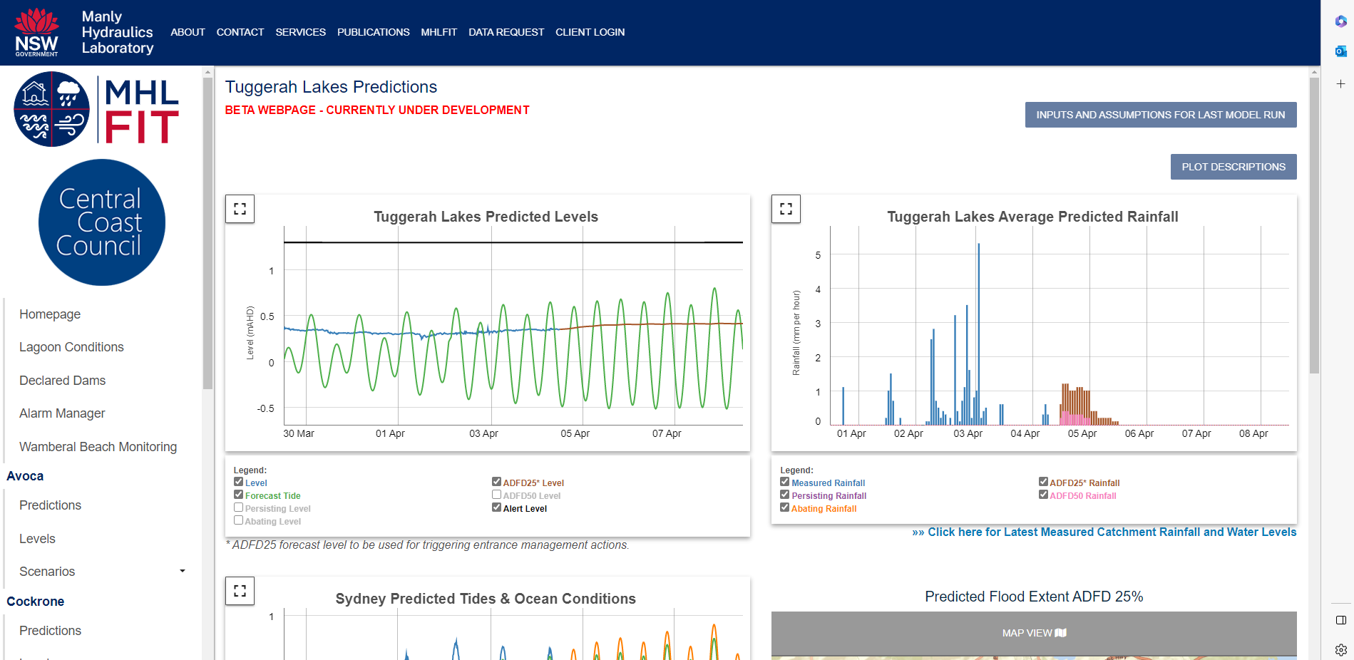
Council uses the Manly Hydraulics Laboratory Flood Intelligence Tool (MHL FIT) to monitor the conditions of Tuggerah Lakes and the other coastal lagoons and to help guide when Council intervention is required in order to mitigate the risk of flooding
For our coastal lagoons, lagoons are opened when water levels both reach a trigger level, and when the lagoons are closed.
For the Tuggerah Lakes, our procedure is more unique and complex, where the MHL FIT uses predicted rainfall data to forecast potential lake levels before they occur, and to allow Council to intervene in management of The Entrance Channel. Even when the channel is not necessarily closed.
Council also uses a gauge at The Entrance Bridge to measure the influence of ocean tides on the estuary, and subsequently how constricted the channel is.
Council also has an Interim Entrance Management Procedure to guide actions depending on the state of the channel, and projected lake levels.

What's the current status with The Entrance channel?
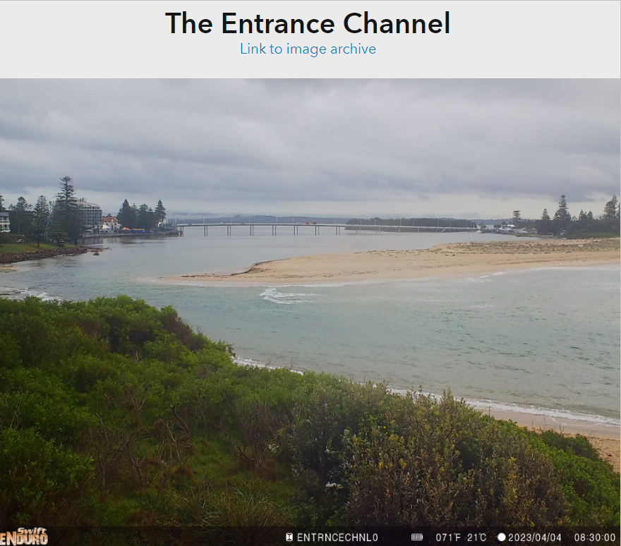
Through active monitoring of aerial and satellite imagery and the tidal gauge at The Entrance, the condition of the channel remains open but has now been classified as heavily constricted. Forecast rainfall from the Bureau of Meteorology indicates that the level of Tuggerah Lakes is not likely to increase beyond the normal range into the recognised flood range.
It is important to note that the channel is not Fully Closed and water is still flowing through - A fully closed channel is a different classification altogether and has different identified response measures to the current channel condition.
Next steps
That the channel is heavily constricted does not warrant immediate action, but does allow for intervention by Council to manage the berm in the event that a flood of 1.3m or higher is predicted through our MHLFIT tool. There is currently no indication of the lake height reaching or exceeding 1.3m, or even the minor flood level of 0.9m. Council's procedure for managing The Entrance Channel can be found within the Tuggerah Lakes Entrance Management Study.
The following image of The Entrance Channel was taken this morning (Tuesday 4 April), via one of our remote monitoring cameras:


