STS-99, Shuttle Radar Topography Mission

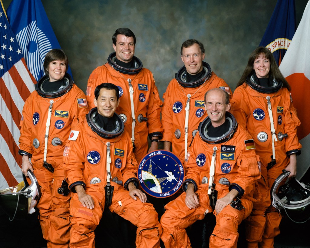
On Feb. 11, 2000, space shuttle Endeavour took to the skies on its 14th trip into space on the Shuttle Radar Topography Mission (SRTM). The international STS-99 crew included Commander Kevin Kregel, Pilot Dominic Gorie, and Mission Specialists Gerhard Thiele of Germany representing the European Space Agency, Janet Kavandi, Janice Voss, who served as payload commander on the mission, and Mamoru Mohri of the National Space Development Agency (NASDA) of Japan, now the Japan Aerospace Exploration Agency.

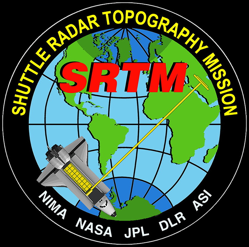
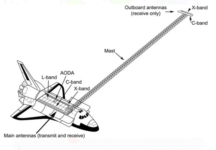
During their 11-day mission, the astronauts used the radar instruments in Endeavour's payload bay to obtain elevation data on a near global scale. The data produced the most complete, high-resolution digital elevation model of the Earth. The SRTM comprised a cooperative effort among NASA with the Jet Propulsion Laboratory (JPL) in Pasadena, California, managing the project, the Department of Defense's National Imagery and Mapping Agency, the German space agency, and the Italian space agency. Prior to SRTM, scientists had a more detailed topographic map of Venus than of the Earth, thanks to the Magellan radar mapping mission.

Circular crew patch with a blue background, including a partial Earth and a space shuttle orbiting it, with the names of the six astronauts written along the outer border.
The STS-99 crew patch.
Group photo of six astronauts wearing orange spacesuits, with an American flag partially visible in the background.
Official photo of the STS-99 crew of Janice Voss, left, Mamoru Mohri of the National Space Development Agency of Japan, now the Japan Aerospace Exploration Agency, Kevin Kregel, Dominic Gorie, Gerhard Thiele of Germany representing the European Space Agency, and Janet Kavandi.
Circular patch of the Shuttle Radar Topography Mission, showing a globe of the world with the acronym SRTM written in red.
The Shuttle Radar Topography Mission patch.
Schematic black and white drawing of the space shuttle and the Space Radar Topography Mission payload.
Schematic of the Space Radar Topography Mission payloads including the deployed mast.
/Public Release. This material from the originating organization/author(s) might be of the point-in-time nature, and edited for clarity, style and length. Mirage.News does not take institutional positions or sides, and all views, positions, and conclusions expressed herein are solely those of the author(s).View in full here.