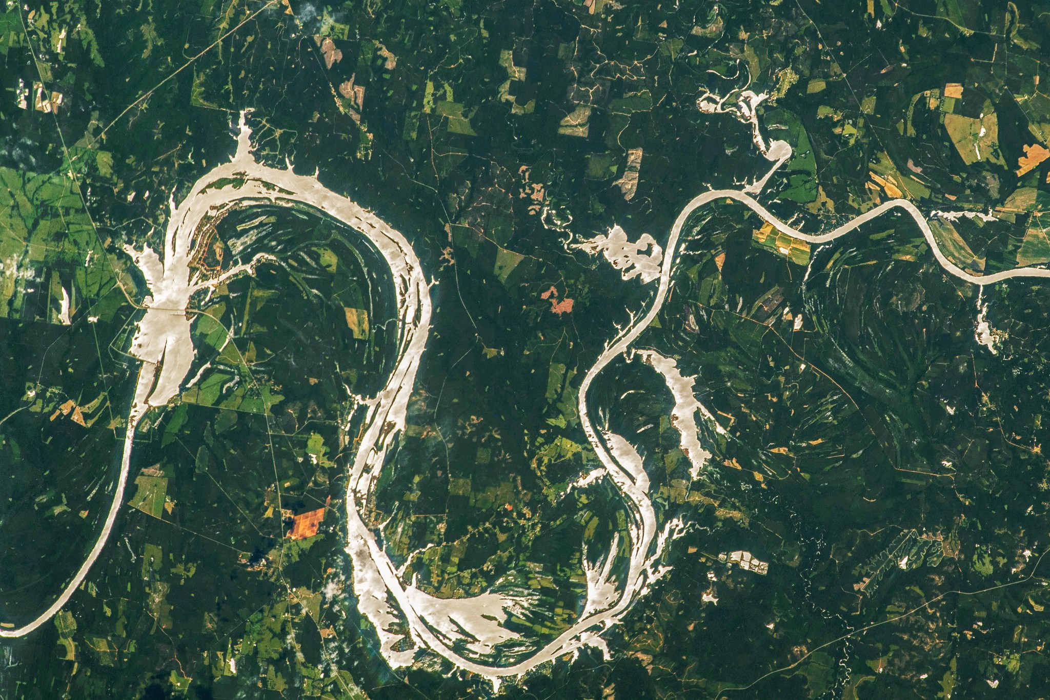
In this June 26, 2023, photo taken from the International Space Station, sunlight shines off the smooth waters of the Alabama River in a phenomenon known as sunglint. When photographing Earth, astronauts often take advantage of sunglint's tendency to increase the contrast between water surfaces and surrounding land surfaces.
In the 1960s, the Alabama River was dammed, creating Dannelly Reservoir (the large shining area at center left). Construction of the dam also raised water levels upriver. This resulted in flooding at several points along the river. These flooded zones are typical of floodplains-the low, flat areas immediately next to larger rivers. In this image, flooded zones appear as irregular, bright shapes extending away from the river, like at Gee's Bend (center bottom).
Text Credit: Justin Wilkinson
Image Credit: NASA/Woody Hoburg


