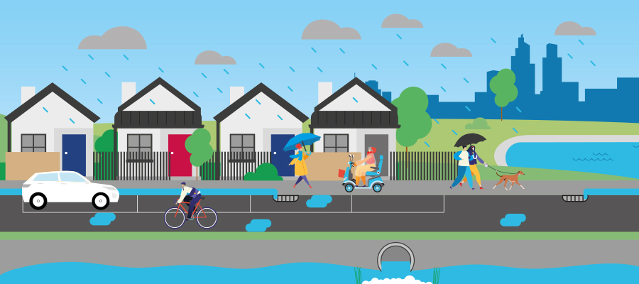
Inner-city areas like Yarra tend to be prone to flooding and rising water levels as water can't be absorbed into the ground easily and the topography of the area limits the way stormwater can move overland. This impacts the way our city develops, future infrastructure needs and how public spaces are designed.
It is important that the community understand that the most well-designed drainage system in the world can't protect communities against the once-in-a-hundred-years weather events we are seeing as a result of climate change.
Our community's experience and some of the severe storms we have seen across Victoria in recent years has shown we need prompt action to support our residents while we continue working on long-term solutions to mitigate the risk of flooding.
Contrary to information circulating in the community, Council's drainage and stormwater infrastructure is in good condition and is actively maintained and upgraded. Over the last few years, Yarra City Council has undertaken extensive work to build our city's resilience against flooding. This includes:
- maintaining the existing drainage network
- undertaking periodic inspections
- regularly cleaning pits and pipes
- proactive planning of capital or renewal work
- monitoring rainfall data and undertaking flood analysis
- boosting community preparedness through education
- identifying and upgrading critical drainage assets
- encouraging permeable surfaces on new developments
- creating new green spaces that absorbs stormwater as part of our Roads to Parks program
As an additional long-term preventative measure, we are looking to implement controls that will ensure future developments are better designed to avoid the impacts of overflow in our stormwater network created during a severe storm. We will do this by updating stormwater maps under the Building Regulations and by using a Special Building Overlay (SBO). These set appropriate conditions and floor levels to mitigate possible flood risk.
Many Victorian Councils have completed or are currently undertaking similar work to improve their city's resilience to these storms. This is not an issue unique to Yarra and is a legislative requirement mandated by the Victorian Government.
This work will be informed by a series of flood maps we completed in partnership with Melbourne Water. These maps were guided by best practice design, benchmarked against methodology undertaken by other Councils and supported by our community's experience during a consultation in July and August 2023.
Our goal is to have the Special Building Overlay drafted in 2025 as we begin the formal planning scheme amendment process. This will be presented to Council and require approval from the State Government before it is exhibited to the community. You will have a chance to submit a comment on this amendment during the exhibition period.
What happens now?
We are looking to take measures under the Building Regulations early next year to ensure construction conducted in the City of Yarra is resilient to the effect of these rising water levels.
If Council chooses to proceed with these measures, new zones within the City of Yarra will be designated as Areas Liable to Flooding under Building Regulation 153 of the Building Regulations 2018.
This regulation requires that prior to any building permit being issued for land in an area liable to flooding, a report and consent approval from Council is required before building can commence.
The flood map data will also be used to inform planning applicants. We will also tell you when your property is in a local flood affected area, when you apply for a Property Certificate from Council.
We want to reassure property owners that the inclusion of your property within these designated zones does not mean it is going to flood.
The modelling data is designed to show which areas are at a higher risk of stormwater flowing over the kerb and possibly into the property boundary during extreme and severe weather events.


